Map: Trinity Alps Wilderness CA
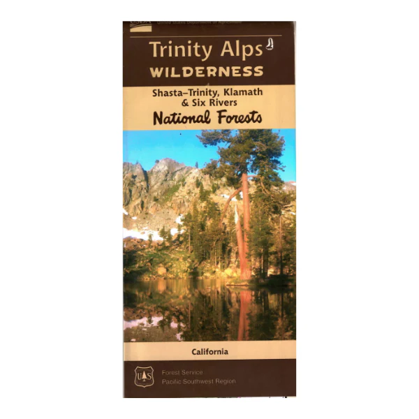
This map covers sections of Shasta-Trinity, Klamath, and Six Rivers National Forests that are included in the Trinity Alps Wilderness. The wilderness is located west of Trinity Lake/Lewiston Lake areas, north of Weaverville, and east of Willow Creek. Hiking, backpacking, and horseback riding are permitted. Trails are clearly marked.
Map includes topographic detail, water features, trailheads, campgrounds, points of interest, forest roads, and contact information for permits and questions. Useful for CA Deer Hunting Unit B2, and Elk Hunting in Marble Mountains Zone. Printed on synthetic tear and water-proof paper. 2017
Product Information
Product Information
Shipping & Returns
Shipping & Returns
Description
This map covers sections of Shasta-Trinity, Klamath, and Six Rivers National Forests that are included in the Trinity Alps Wilderness. The wilderness is located west of Trinity Lake/Lewiston Lake areas, north of Weaverville, and east of Willow Creek. Hiking, backpacking, and horseback riding are permitted. Trails are clearly marked.
Map includes topographic detail, water features, trailheads, campgrounds, points of interest, forest roads, and contact information for permits and questions. Useful for CA Deer Hunting Unit B2, and Elk Hunting in Marble Mountains Zone. Printed on synthetic tear and water-proof paper. 2017


