Map: Trigo Mountains AZ - AZ152S
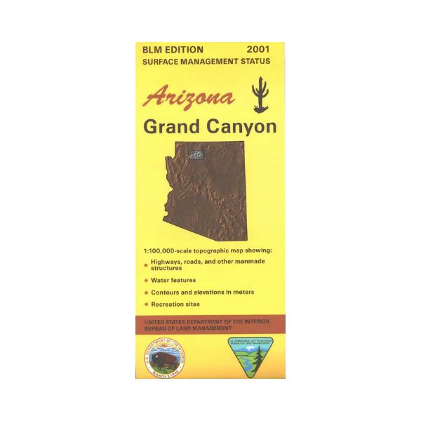
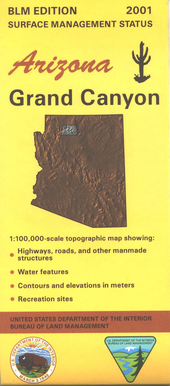
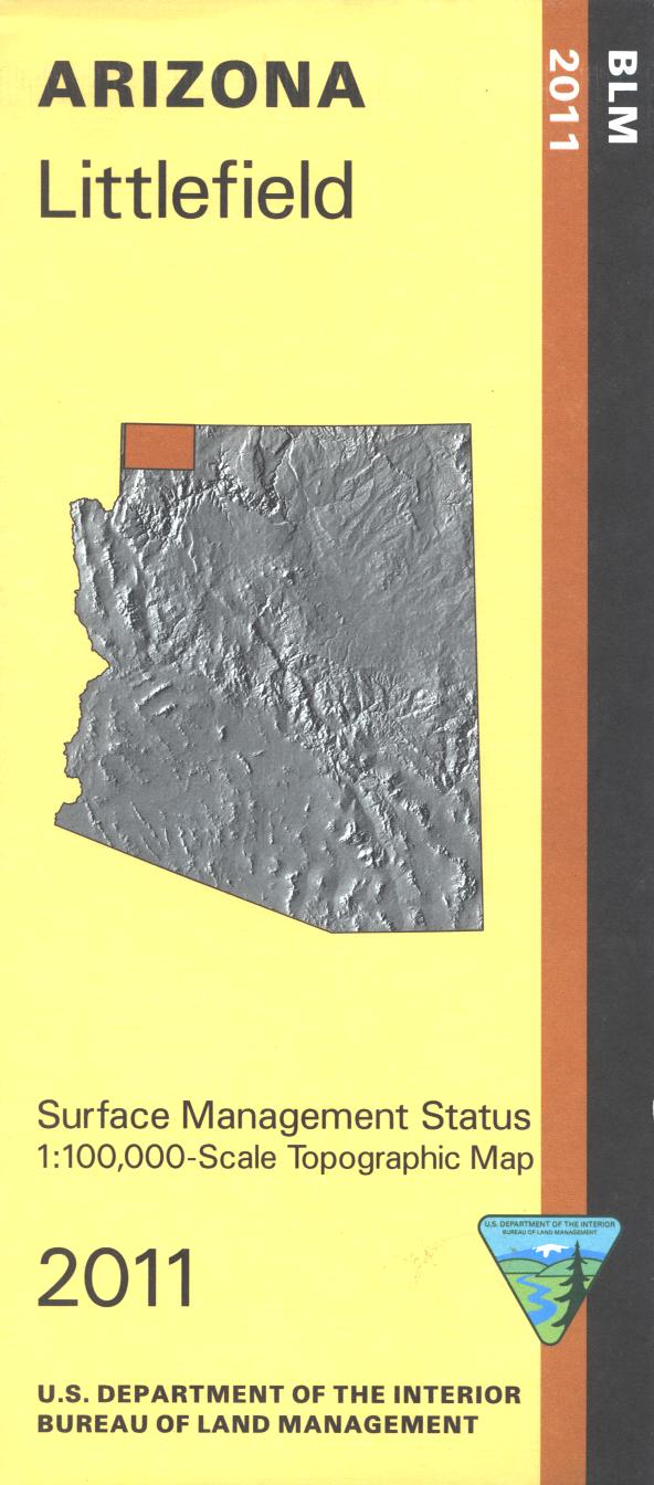
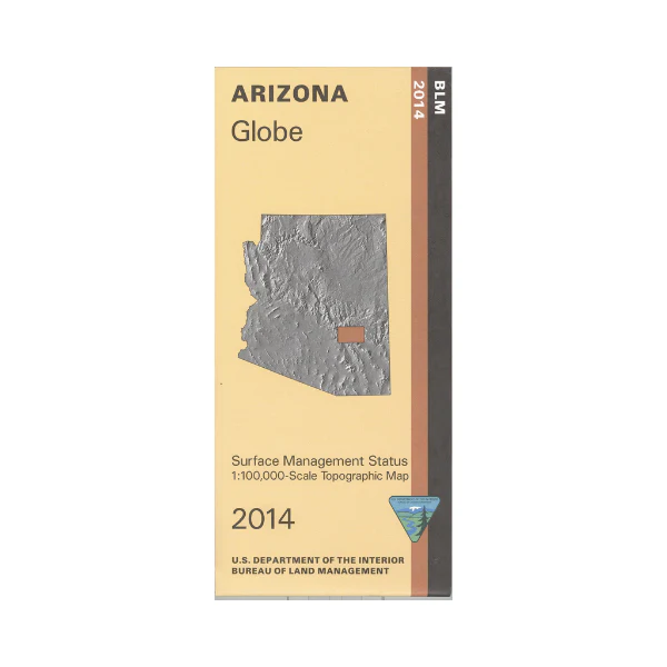
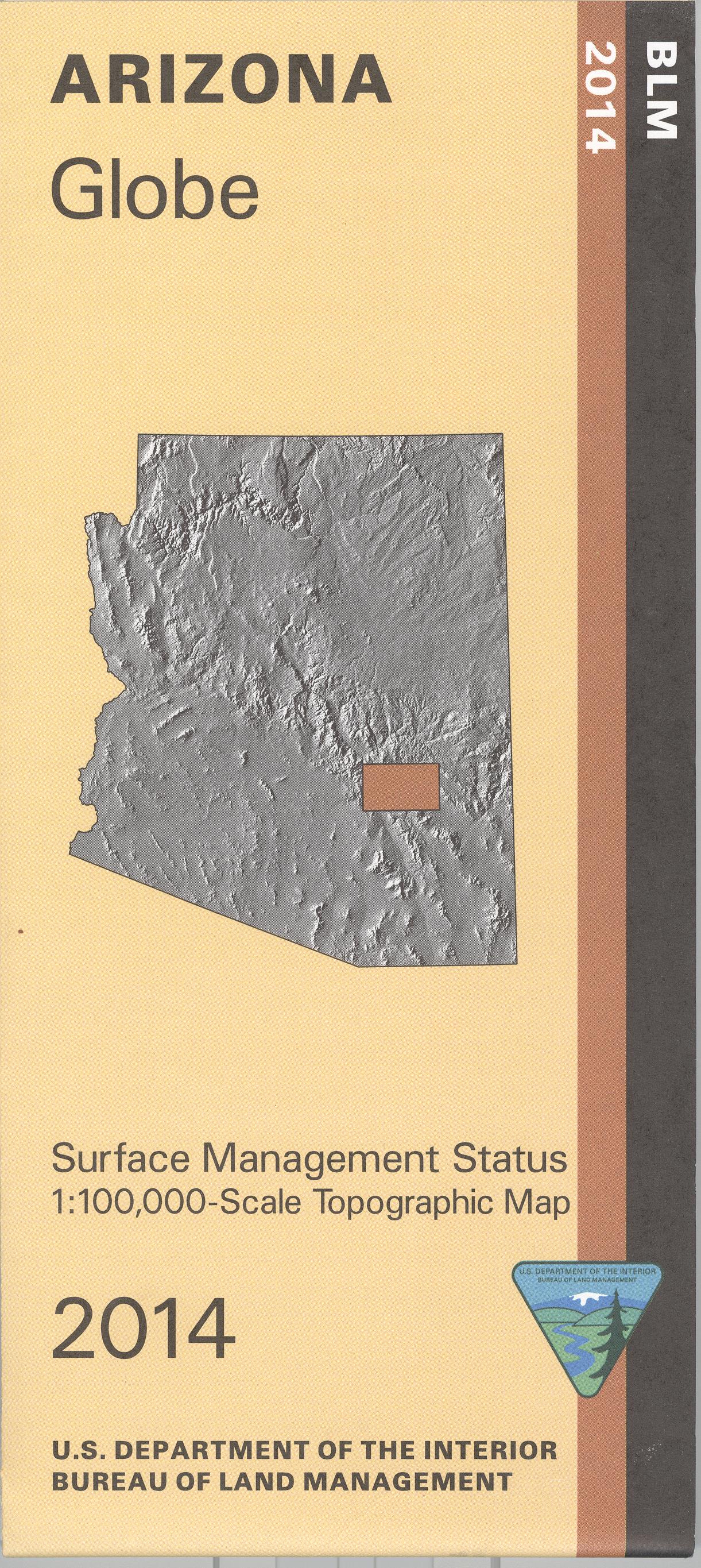
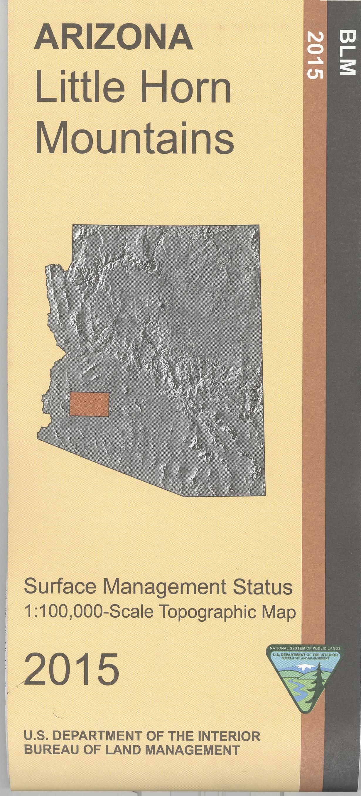
Differentiates between public and private land, and also among the various agencies who manage the public lands. Explore the Cibola, Kofa, and Imperial National Wildlife Refuges, and other nearby Wilderness areas. Camping, fishing, and boating on the Colorado River. Map shows campgrounds, picnic areas, and boat ramps. Map shows the Chocolate Mountains, and part of the California Desert Conservation Area in California. Use this map for Deer Hunting in California Deer Unit D12 and AZ Hunting Units 43A, 43B, 45A, and 45C. Scale 1:100,000 (roughly 3/4 inch = 1 mile). 2011
Product Information
Product Information
Shipping & Returns
Shipping & Returns
Description
Differentiates between public and private land, and also among the various agencies who manage the public lands. Explore the Cibola, Kofa, and Imperial National Wildlife Refuges, and other nearby Wilderness areas. Camping, fishing, and boating on the Colorado River. Map shows campgrounds, picnic areas, and boat ramps. Map shows the Chocolate Mountains, and part of the California Desert Conservation Area in California. Use this map for Deer Hunting in California Deer Unit D12 and AZ Hunting Units 43A, 43B, 45A, and 45C. Scale 1:100,000 (roughly 3/4 inch = 1 mile). 2011