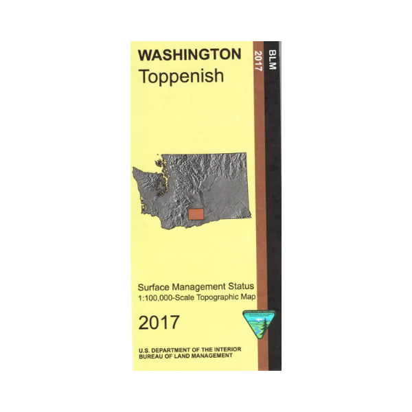
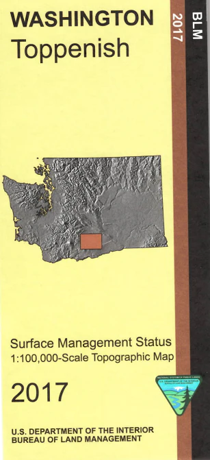
Map: Toppenish WA
Map covers mostly the Yakima Indian Reservation with some scattered BLM and state lands in Rattlesnake Hills north of Sunnyside WA. Bird watching, wildlife viewing, boating, and fishing at Sunnyside Wildlife Recreation Area on the Yakima River. Official BLM map shows color-coded federal, state, and private lands, topographic detail, roads, water features, recreation sites, place names, county boundaries, and township and range lines. Scale is 1:100,000, roughly 3/4 inch to 1 mile. Use map for hunting in unit 372, 373,and 382. 2017
Original: $8.99
-65%$8.99
$3.15Product Information
Product Information
Shipping & Returns
Shipping & Returns
Description
Map covers mostly the Yakima Indian Reservation with some scattered BLM and state lands in Rattlesnake Hills north of Sunnyside WA. Bird watching, wildlife viewing, boating, and fishing at Sunnyside Wildlife Recreation Area on the Yakima River. Official BLM map shows color-coded federal, state, and private lands, topographic detail, roads, water features, recreation sites, place names, county boundaries, and township and range lines. Scale is 1:100,000, roughly 3/4 inch to 1 mile. Use map for hunting in unit 372, 373,and 382. 2017


