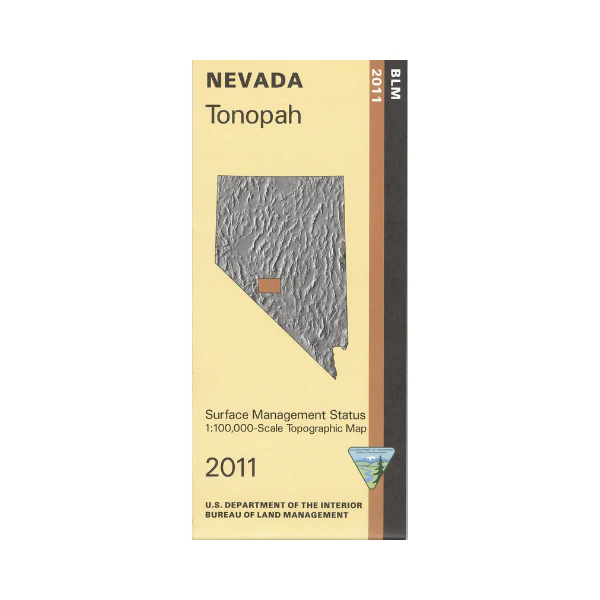
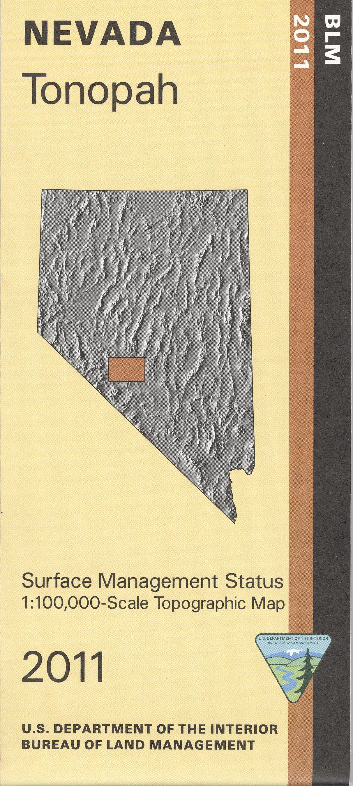
Map: Tonopah NV - NV161S
BLM Management Status maps color code who owns what in the given quadrant; private, tribal, or public. Roads and waterways and other manmade and natural features are clearly marked. Map is almost all BLM land, much it north or west of Tonopah NV. Map covers from Monte Cristo Mountains east to Ralston Valley. A small section of the southern end of Toquima Range forest land is shown. Use this map for OHV use, and hunting in NV Units 161, 162, 171, 173, 207, 208, 211, 212, and 251. 2011
Product Information
Product Information
Shipping & Returns
Shipping & Returns
Description
BLM Management Status maps color code who owns what in the given quadrant; private, tribal, or public. Roads and waterways and other manmade and natural features are clearly marked. Map is almost all BLM land, much it north or west of Tonopah NV. Map covers from Monte Cristo Mountains east to Ralston Valley. A small section of the southern end of Toquima Range forest land is shown. Use this map for OHV use, and hunting in NV Units 161, 162, 171, 173, 207, 208, 211, 212, and 251. 2011


