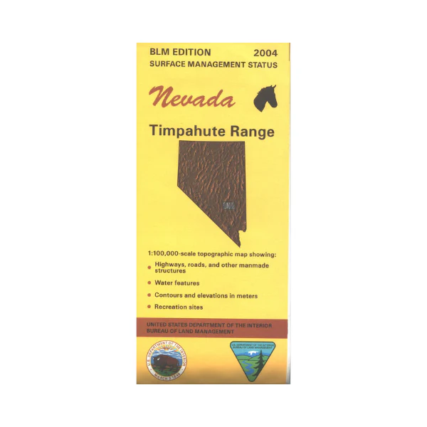
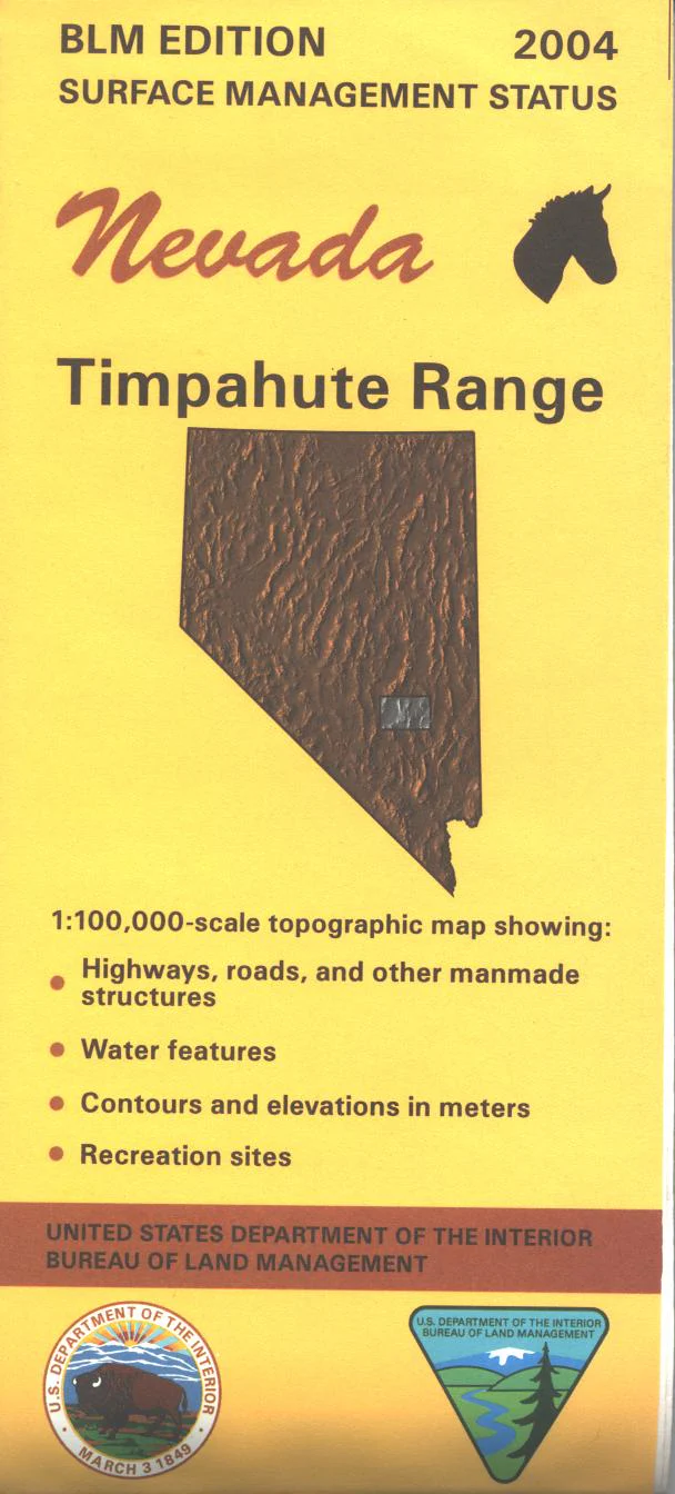
Map: Timpahute Range NV - NV160S
BLM Management Status maps color code who owns what in the given quadrant; private, military, tribal, or public. Roads and waterways and other manmade and natural features are clearly marked. Map is mostly BLM lands ranging from Quinn Canyon Range east to Seaman Range north of HIKO NV. Key Pittman Wildlife Management Area is just south of Hiko. Use this map for OHV use, and hunting in Units 132, 133, 223, 241, and 245. 2005
Product Information
Product Information
Shipping & Returns
Shipping & Returns
Description
BLM Management Status maps color code who owns what in the given quadrant; private, military, tribal, or public. Roads and waterways and other manmade and natural features are clearly marked. Map is mostly BLM lands ranging from Quinn Canyon Range east to Seaman Range north of HIKO NV. Key Pittman Wildlife Management Area is just south of Hiko. Use this map for OHV use, and hunting in Units 132, 133, 223, 241, and 245. 2005


