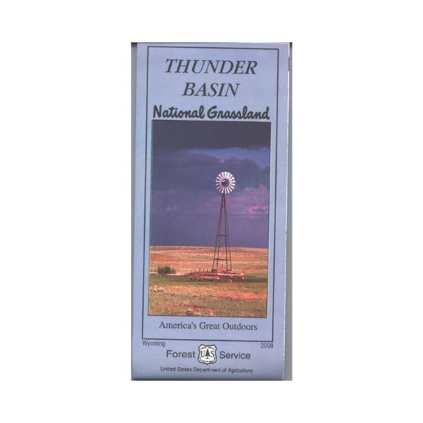
Map: Thunder Basin National Grassland WY
Official Forest map covers the grasslands and surrounding areas. Explore the grasslands from Newcastle west to Wright/Reno Junction, or from Sundance southwest to Bill. Details include roads, 4WD roads, land ownership, water features, and historic and cultural sites. Map is useful for OHV use, and WY Antelope Hunting Units 4, 5, 6, 7, 8, 24, 26, and 27; WY Deer HU 6, 7, 8, 9, 10, 11, 18, 21, and 22; WY Elk HU 113, 117, 123, and 126. On synthetic paper. Scale is 1:126,720 or 1 inch = 0.5 miles. 2008
Original: $19.99
-65%$19.99
$7.00Product Information
Product Information
Shipping & Returns
Shipping & Returns
Description
Official Forest map covers the grasslands and surrounding areas. Explore the grasslands from Newcastle west to Wright/Reno Junction, or from Sundance southwest to Bill. Details include roads, 4WD roads, land ownership, water features, and historic and cultural sites. Map is useful for OHV use, and WY Antelope Hunting Units 4, 5, 6, 7, 8, 24, 26, and 27; WY Deer HU 6, 7, 8, 9, 10, 11, 18, 21, and 22; WY Elk HU 113, 117, 123, and 126. On synthetic paper. Scale is 1:126,720 or 1 inch = 0.5 miles. 2008


