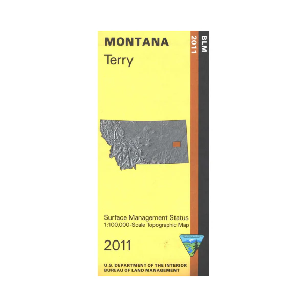
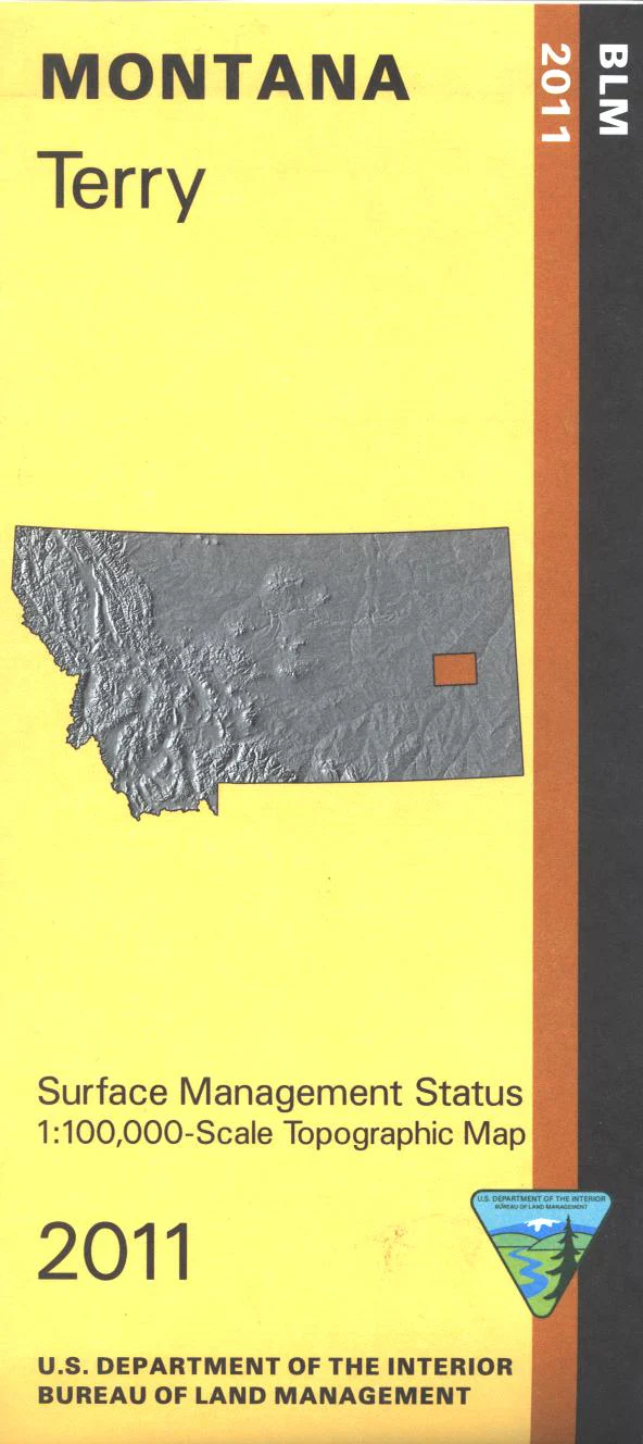
Map: Terry MT - MT1184S
From Terry travel northeast or southwest to access the recreation sites on the Yellowstone River, with opportunities for camping, fishing, canoeing, and boating. Explore the scattered BLM lands shown on the map. Official Bureau of Land Management metric topographic map @1:100,000 scale (roughly 3/4"`1 mile), color-coded to show surface management, i.e. agency vs. private or tribal ownership. Map shows color coded public and private ownership, roads, water features, recreation sites, points of interest, and the township and range lines. Use for hunting Deer, Elk, and Mountain Lion in Unit 701, 703, and 704. 2011
Product Information
Product Information
Shipping & Returns
Shipping & Returns
Description
From Terry travel northeast or southwest to access the recreation sites on the Yellowstone River, with opportunities for camping, fishing, canoeing, and boating. Explore the scattered BLM lands shown on the map. Official Bureau of Land Management metric topographic map @1:100,000 scale (roughly 3/4"`1 mile), color-coded to show surface management, i.e. agency vs. private or tribal ownership. Map shows color coded public and private ownership, roads, water features, recreation sites, points of interest, and the township and range lines. Use for hunting Deer, Elk, and Mountain Lion in Unit 701, 703, and 704. 2011


