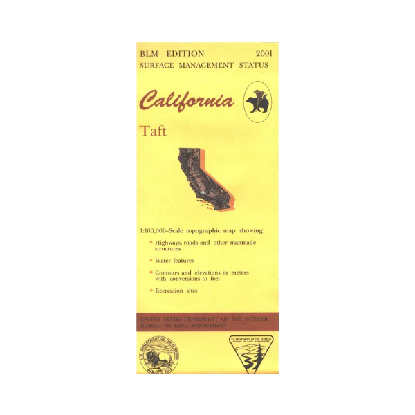
Map: Taft CA - CA510S
Map shows lands west of Bakersfield to Simmier. Explore the BLM lands west of Taft, includes the Temblor Range, Elkhorn Plain, and Carrizo Plain. Official Bureau of Land Management metric topographic map @1:100,000 scale (roughly 3/4"=1 mile), color-coded to show surface management, i.e. agency vs. private or tribal ownership. Map shows roads, water features, points of interest and the township and range lines. Use this map for Deer Hunting in Unit A South 110, D8, and D13; and Elk Hunting in La Panza Zone. 2001
Product Information
Product Information
Shipping & Returns
Shipping & Returns
Description
Map shows lands west of Bakersfield to Simmier. Explore the BLM lands west of Taft, includes the Temblor Range, Elkhorn Plain, and Carrizo Plain. Official Bureau of Land Management metric topographic map @1:100,000 scale (roughly 3/4"=1 mile), color-coded to show surface management, i.e. agency vs. private or tribal ownership. Map shows roads, water features, points of interest and the township and range lines. Use this map for Deer Hunting in Unit A South 110, D8, and D13; and Elk Hunting in La Panza Zone. 2001


