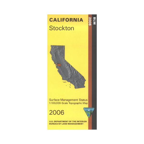
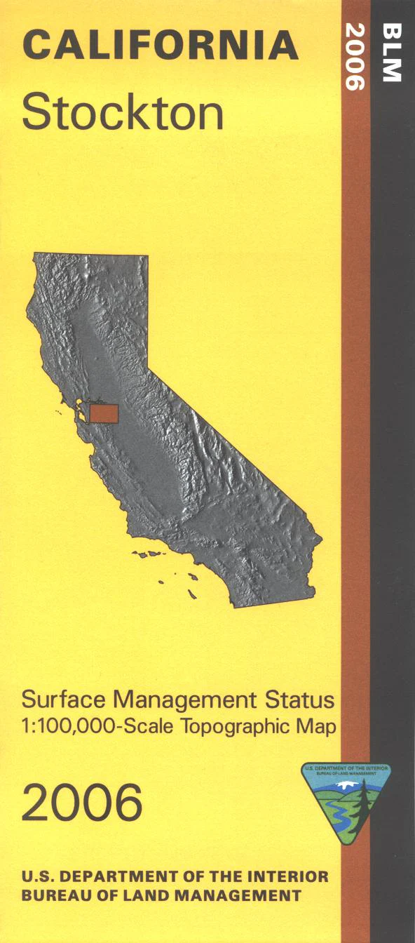
Map: Stockton CA - CA500S
Map shows lands south and mostly west of Stockton. North and south of Livermore are state lands including Mount Diablo State Park, Los Vaqueros Reservoir, Lake Valle, and Sunol Regional Wilderness with opportunities for camping, hiking, mountain biking, horseback riding, or boating. Official Bureau of Land Management metric topographic map @1:100,000 scale (roughly 3/4"=1 mile), color-coded to show surface management, i.e. agency vs. private or tribal ownership. Map shows roads, water features, recreation sites including campgrounds, points of interest, and the township and range lines. Use this map for Deer Hunting in Unit A South 110. 2006
Original: $8.99
-65%$8.99
$3.15Product Information
Product Information
Shipping & Returns
Shipping & Returns
Description
Map shows lands south and mostly west of Stockton. North and south of Livermore are state lands including Mount Diablo State Park, Los Vaqueros Reservoir, Lake Valle, and Sunol Regional Wilderness with opportunities for camping, hiking, mountain biking, horseback riding, or boating. Official Bureau of Land Management metric topographic map @1:100,000 scale (roughly 3/4"=1 mile), color-coded to show surface management, i.e. agency vs. private or tribal ownership. Map shows roads, water features, recreation sites including campgrounds, points of interest, and the township and range lines. Use this map for Deer Hunting in Unit A South 110. 2006


