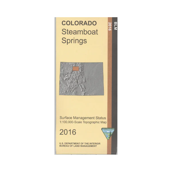
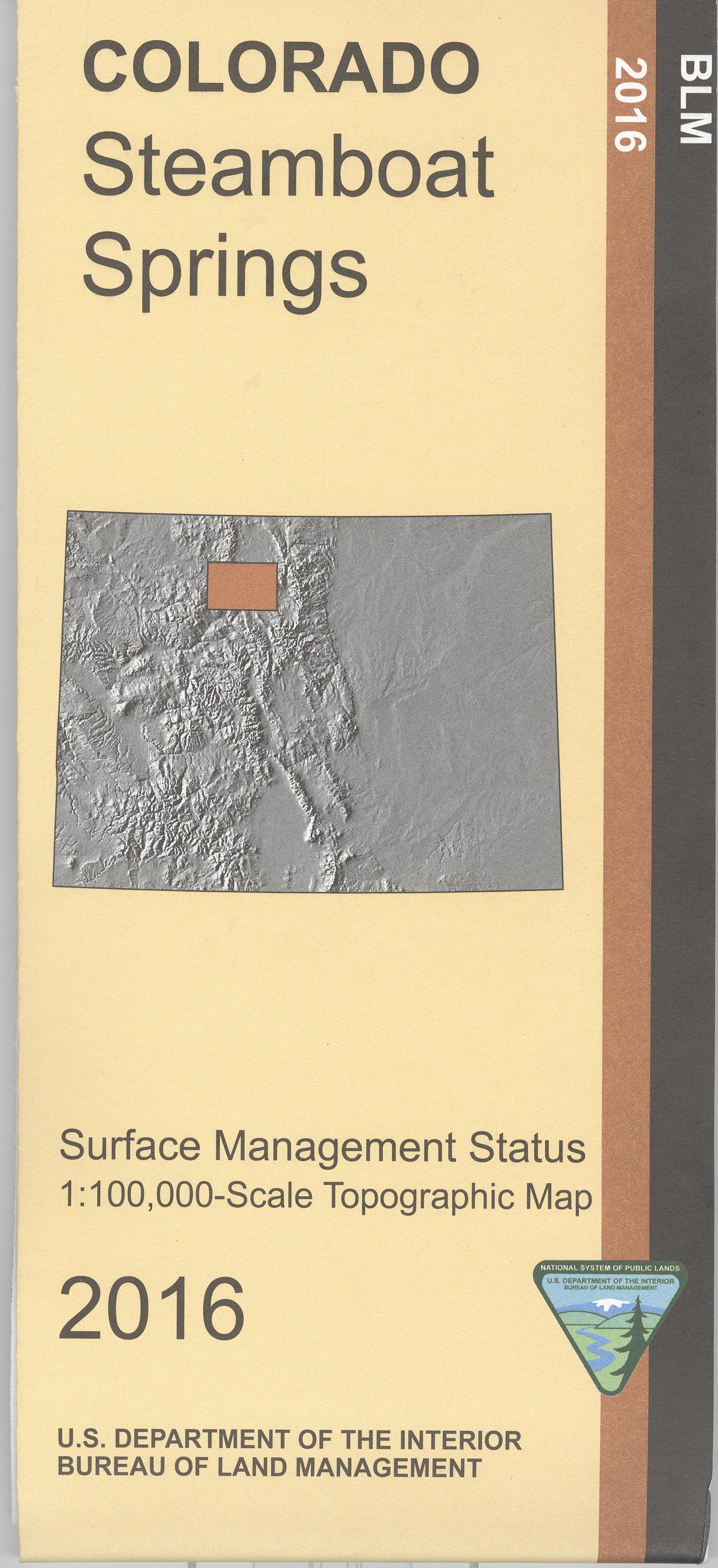
Map: Steamboat Springs CO - CO149S
The BLM quadrant maps are scaled at 1:100,000, and cover an area of about 30 x 50 miles. Recreational opportunities await you in the Routt National Forest and the Arapaho National Forest. Recreation includes camping, hiking, horseback riding, fishing and boating at Stagecoach Reservoir, and scenic driving. Access to the Colorado River at state wildlife areas along the river east of Kremmling. The Continental Divide Trail in Routt NF is marked . Map is useful for OHV use, and Colorado Hunting Units 14, 15, 16, 17, 18, 26, 27, 28, 37, 171, and 181. Ownership status is denoted by color, and roads, lakes, streams, and other topographical features are marked on these maps. 2016
Original: $8.99
-65%$8.99
$3.15Product Information
Product Information
Shipping & Returns
Shipping & Returns
Description
The BLM quadrant maps are scaled at 1:100,000, and cover an area of about 30 x 50 miles. Recreational opportunities await you in the Routt National Forest and the Arapaho National Forest. Recreation includes camping, hiking, horseback riding, fishing and boating at Stagecoach Reservoir, and scenic driving. Access to the Colorado River at state wildlife areas along the river east of Kremmling. The Continental Divide Trail in Routt NF is marked . Map is useful for OHV use, and Colorado Hunting Units 14, 15, 16, 17, 18, 26, 27, 28, 37, 171, and 181. Ownership status is denoted by color, and roads, lakes, streams, and other topographical features are marked on these maps. 2016


