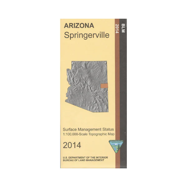
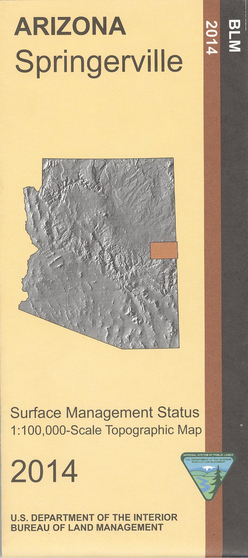
Map: Springerville AZ - AZ148S
BLM map shows roads, campgrounds, national forest lands, and topographic detail. Recreation in Apache Sitgreaves National Forest includes camping, hiking, horseback riding, fishing, OHV use, and scenic driving on Coronado Trail Scenic Byway. Differentiates between public and private land, and also among the various agencies who manage the public lands. Map is useful for AZ Hunting Units 1, 2B, 2C, and 3B. Scale 1:100,000. 2014
Product Information
Product Information
Shipping & Returns
Shipping & Returns
Description
BLM map shows roads, campgrounds, national forest lands, and topographic detail. Recreation in Apache Sitgreaves National Forest includes camping, hiking, horseback riding, fishing, OHV use, and scenic driving on Coronado Trail Scenic Byway. Differentiates between public and private land, and also among the various agencies who manage the public lands. Map is useful for AZ Hunting Units 1, 2B, 2C, and 3B. Scale 1:100,000. 2014