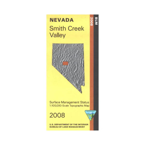
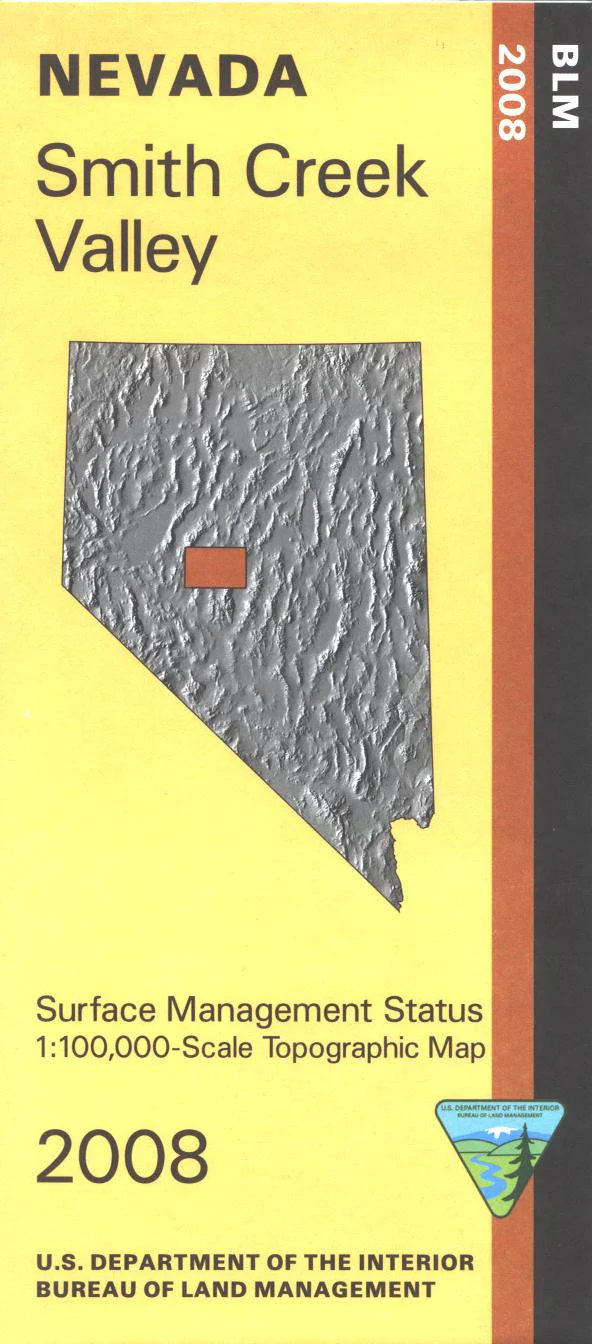
Map: Smith Creek Valley NV - NV157S
BLM Management Status maps color code who owns what in the given quadrant; private, tribal, or public. Roads, waterways, recreational sites, and other manmade and natural features are clearly marked. East of Smith Creek Valley explore the Shoshone Mountains and the Toiyabe Range in Humboldt Toiyabe National Forest south of Austin NV. Trailheads and campgrounds are marked. Camping, hiking, and horse riding in the forest. Forests are surrounded by BLM lands; the Pony Express National Historic Trail is on BLM land and is marked. Use this map for OHV use, and hunting in NV Units 161, 171, 172, 173, 183, and 184. 2008
Product Information
Product Information
Shipping & Returns
Shipping & Returns
Description
BLM Management Status maps color code who owns what in the given quadrant; private, tribal, or public. Roads, waterways, recreational sites, and other manmade and natural features are clearly marked. East of Smith Creek Valley explore the Shoshone Mountains and the Toiyabe Range in Humboldt Toiyabe National Forest south of Austin NV. Trailheads and campgrounds are marked. Camping, hiking, and horse riding in the forest. Forests are surrounded by BLM lands; the Pony Express National Historic Trail is on BLM land and is marked. Use this map for OHV use, and hunting in NV Units 161, 171, 172, 173, 183, and 184. 2008


