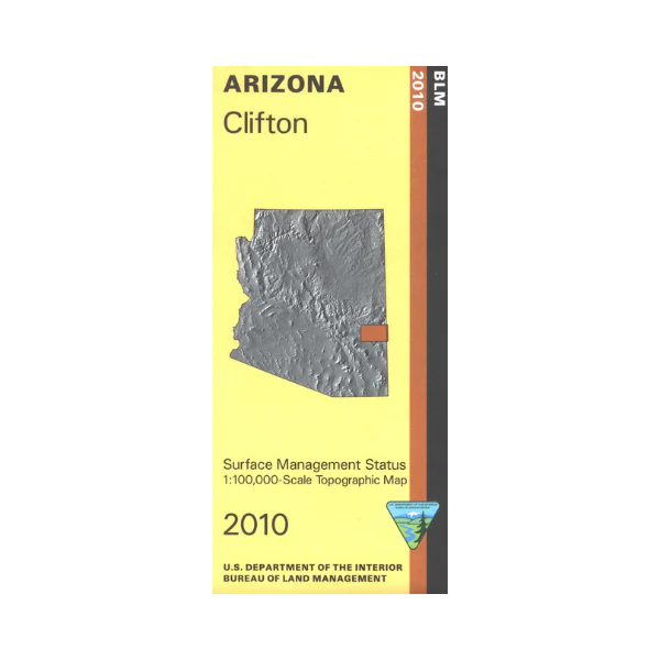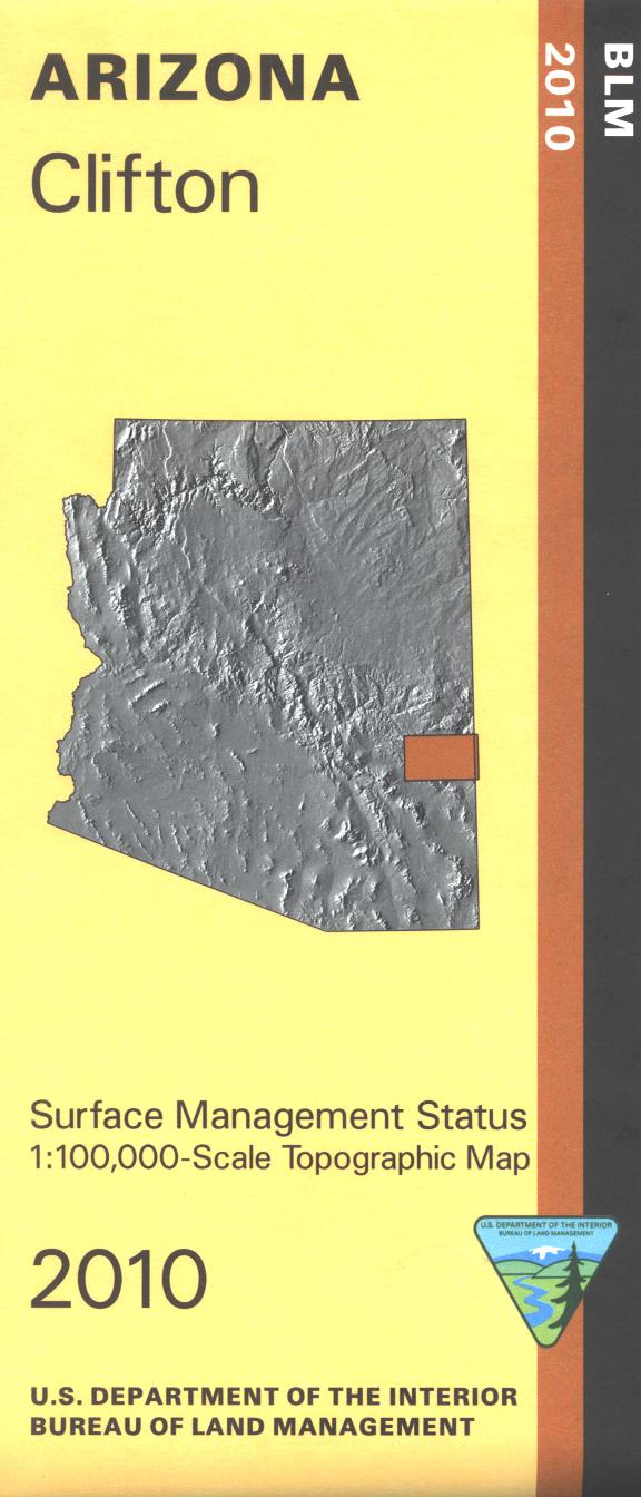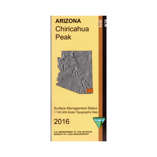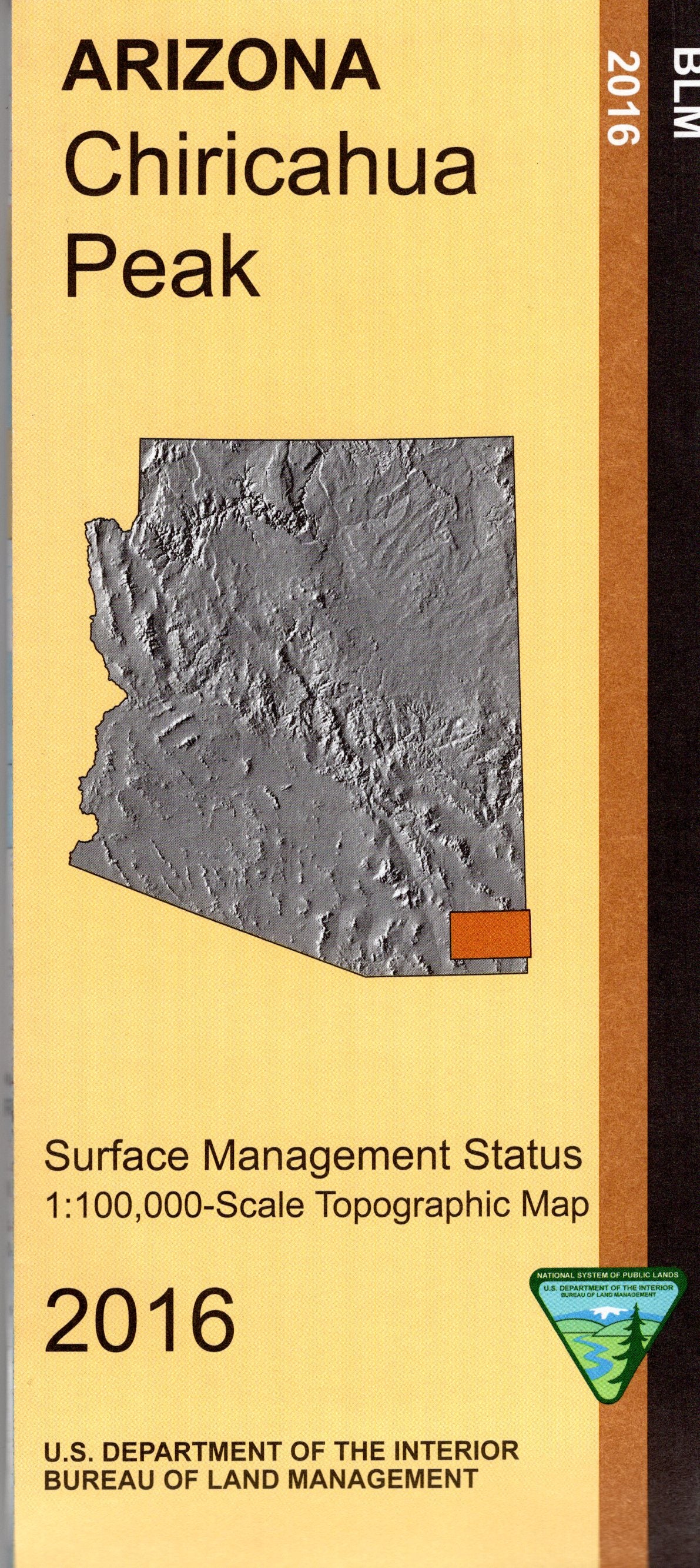
Map: Silver Bell Mountains AZ - AZ147S
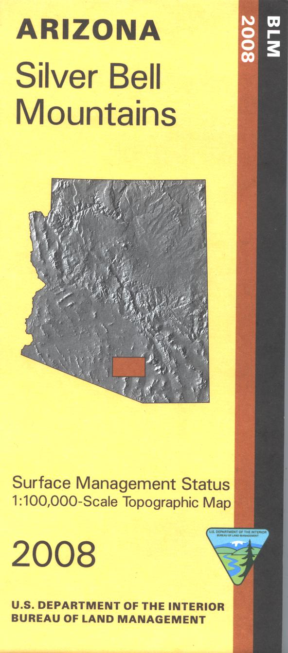
BLM map shows roads, topographic detail, and the west side of Tucson AZ. Differentiates between public and private land, and also among the various agencies who manage the public lands. Explore the Ironwood Forest National Monument and Saguaro National Park(west);petroglyphs, nature trails, hiking trails, picnicking, visitor center, and scenic driving. Camping, picnicking, hiking, horseback riding, and scenic driving in Tucson Mountain Park. Visit the Arizona Sonora Desert Museum, see native animals. Map is useful for AZ Hunting Units 37A and 38M. Scale 1:100,000. 2008
Product Information
Product Information
Shipping & Returns
Shipping & Returns
Description
BLM map shows roads, topographic detail, and the west side of Tucson AZ. Differentiates between public and private land, and also among the various agencies who manage the public lands. Explore the Ironwood Forest National Monument and Saguaro National Park(west);petroglyphs, nature trails, hiking trails, picnicking, visitor center, and scenic driving. Camping, picnicking, hiking, horseback riding, and scenic driving in Tucson Mountain Park. Visit the Arizona Sonora Desert Museum, see native animals. Map is useful for AZ Hunting Units 37A and 38M. Scale 1:100,000. 2008