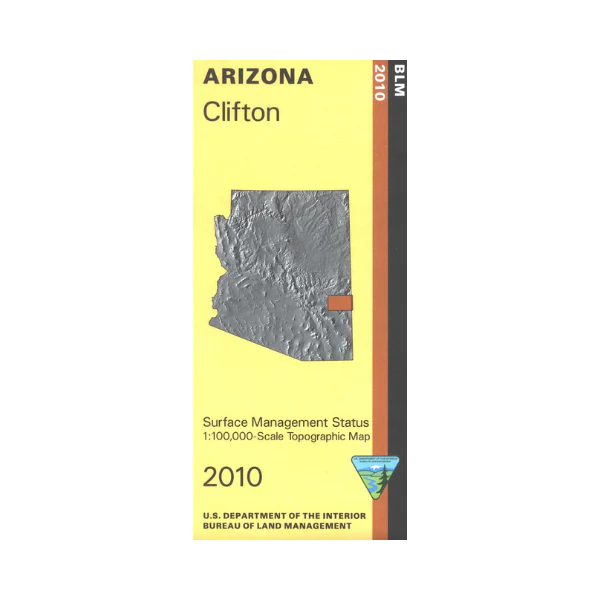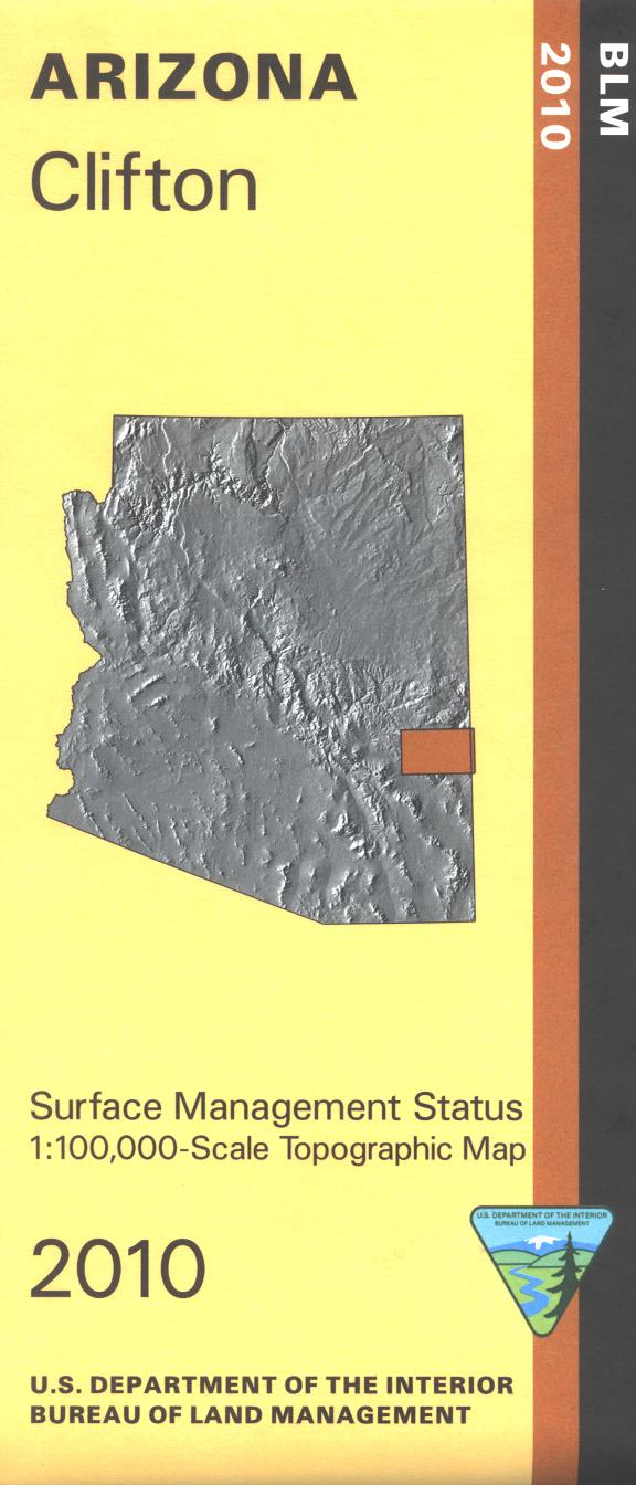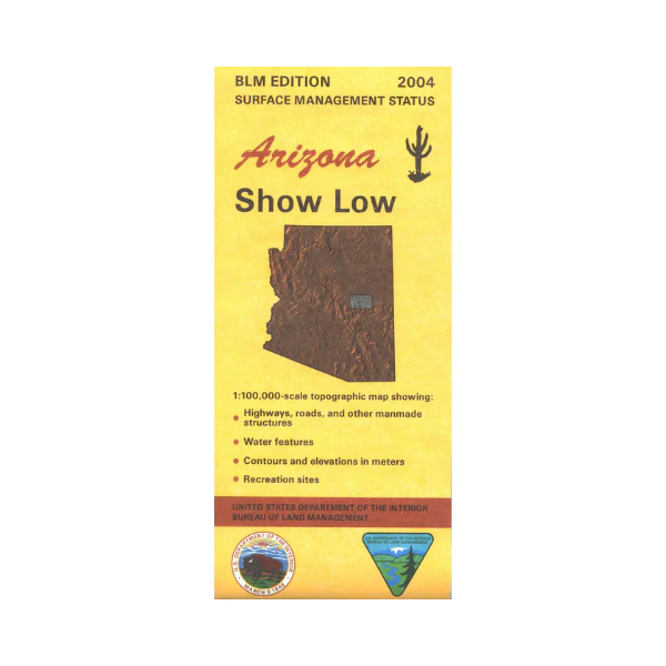
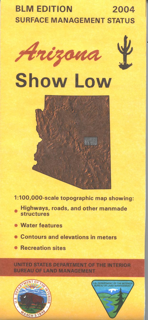
Map: Show Low AZ - AZ146S
BLM map shows roads, Apache-Sitgreaves National Forest lands, and topographic detail. Differentiates between public and private land, and also among the various agencies who manage the public lands. Scenic driving on the Mogollon Rim; campgrounds, hiking/horseback trails, and picnic areas are marked. The General George Crook National Recreation Trail is shown. Fishing and boating at Woods Canyon Lake. Map is useful for AZ Hunting Units 3B, 3C,4A, 4B, 23. Scale 1:100,000. 2020
Product Information
Product Information
Shipping & Returns
Shipping & Returns
Description
BLM map shows roads, Apache-Sitgreaves National Forest lands, and topographic detail. Differentiates between public and private land, and also among the various agencies who manage the public lands. Scenic driving on the Mogollon Rim; campgrounds, hiking/horseback trails, and picnic areas are marked. The General George Crook National Recreation Trail is shown. Fishing and boating at Woods Canyon Lake. Map is useful for AZ Hunting Units 3B, 3C,4A, 4B, 23. Scale 1:100,000. 2020