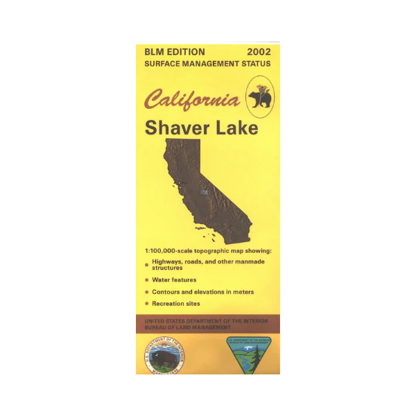
Map: Shaver Lake CA - CA480S
Map shows lands from Eastman Lake east to Ansel Adams and Dinkey Lakes Wildernesses in Sierra National Forest. From North Fork travel the Sierra Vista Scenic Byway looping through the forest with opportunities for camping, or and boating and camping at Mammoth Pool Reservoir. From Prather travel northeast into the forest to Shaver Lake, Huntington Lake, and beyond to access campgrounds and wilderness hiking trails. Official Bureau of Land Management metric topographic map @1:100,000 scale (roughly 3/4"=1 mile), color-coded to show surface management, i.e. agency vs. private or tribal ownership. Map shows roads, water features, recreation sites, points of interest, and the township and range lines. Maps show trails and developed recreation areas such as campgrounds. Use this map for Deer Hunting in Units D6 and D7. 2002
Original: $8.99
-65%$8.99
$3.15Product Information
Product Information
Shipping & Returns
Shipping & Returns
Description
Map shows lands from Eastman Lake east to Ansel Adams and Dinkey Lakes Wildernesses in Sierra National Forest. From North Fork travel the Sierra Vista Scenic Byway looping through the forest with opportunities for camping, or and boating and camping at Mammoth Pool Reservoir. From Prather travel northeast into the forest to Shaver Lake, Huntington Lake, and beyond to access campgrounds and wilderness hiking trails. Official Bureau of Land Management metric topographic map @1:100,000 scale (roughly 3/4"=1 mile), color-coded to show surface management, i.e. agency vs. private or tribal ownership. Map shows roads, water features, recreation sites, points of interest, and the township and range lines. Maps show trails and developed recreation areas such as campgrounds. Use this map for Deer Hunting in Units D6 and D7. 2002


