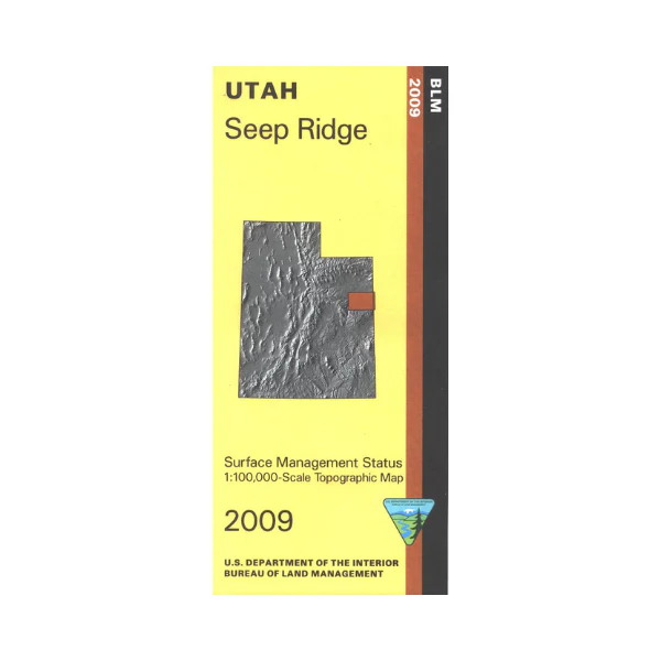
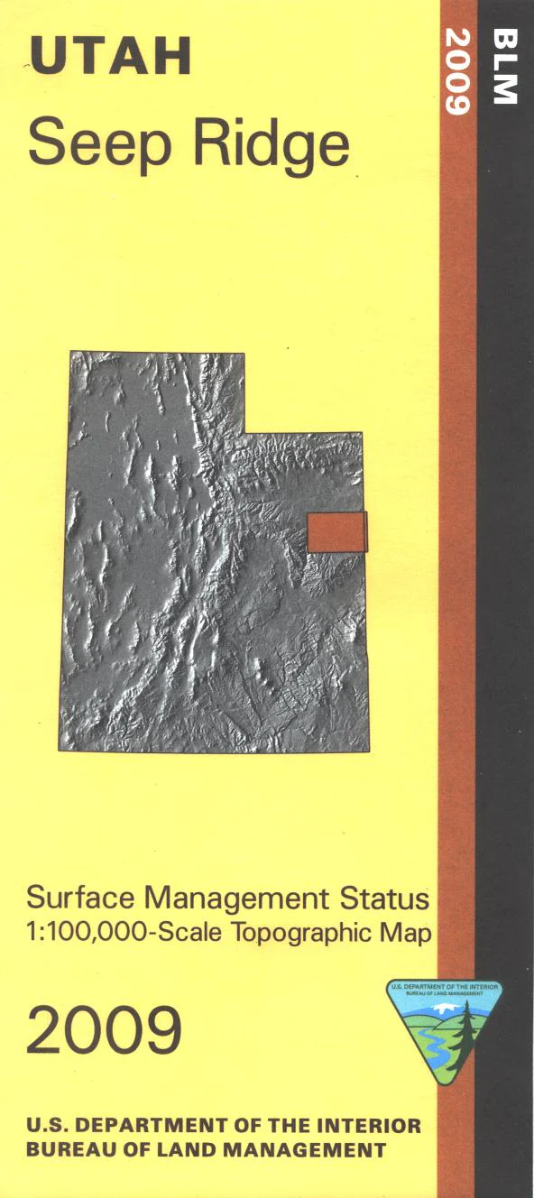
Map: Seep Ridge UT - UT136S
Map shows mostly BLM land, some state lands, and much of the Unitah and Ouray Indian Reservation with a section of the Green River in Desolation Canyon on their west boundary. Official Bureau of Land Management metric topographic map @1:100,000 scale (roughly 3/4"`1 mile), color-coded to show Surface Management/ownership i.e. agency vs. private or tribal. Map shows roads, water features, and township and range lines. Use this map for hunting in the Book Cliffs, Nine Mile, and South Slope units. 2009
Product Information
Product Information
Shipping & Returns
Shipping & Returns
Description
Map shows mostly BLM land, some state lands, and much of the Unitah and Ouray Indian Reservation with a section of the Green River in Desolation Canyon on their west boundary. Official Bureau of Land Management metric topographic map @1:100,000 scale (roughly 3/4"`1 mile), color-coded to show Surface Management/ownership i.e. agency vs. private or tribal. Map shows roads, water features, and township and range lines. Use this map for hunting in the Book Cliffs, Nine Mile, and South Slope units. 2009


