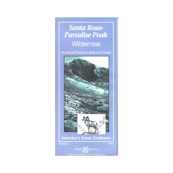
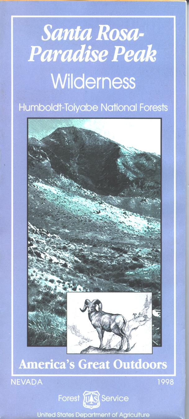
Map: Santa Rosa Paradise Peak Wilderness NV
This wilderness is within the Humboldt National Forest located east of Orovada NV. Two wilderness trailheads are in Horse Canyon and Buffalo Canyon on the west side, and Little Cottonwood Creek and Abel Creek on the east side. Other trailheads are marked on the map. Hiking, backpacking, and horseback riding on the trails. National Forest maps include topographic information, hiking trails, service roads, regulations, and contact information if you need permits or other information before you trek into the wilderness. No motorized or wheeled vehicles permitted in wilderness areas. Map is useful for NV Hunting Unit 51. 1998
Product Information
Product Information
Shipping & Returns
Shipping & Returns
Description
This wilderness is within the Humboldt National Forest located east of Orovada NV. Two wilderness trailheads are in Horse Canyon and Buffalo Canyon on the west side, and Little Cottonwood Creek and Abel Creek on the east side. Other trailheads are marked on the map. Hiking, backpacking, and horseback riding on the trails. National Forest maps include topographic information, hiking trails, service roads, regulations, and contact information if you need permits or other information before you trek into the wilderness. No motorized or wheeled vehicles permitted in wilderness areas. Map is useful for NV Hunting Unit 51. 1998


