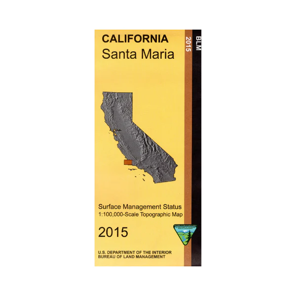
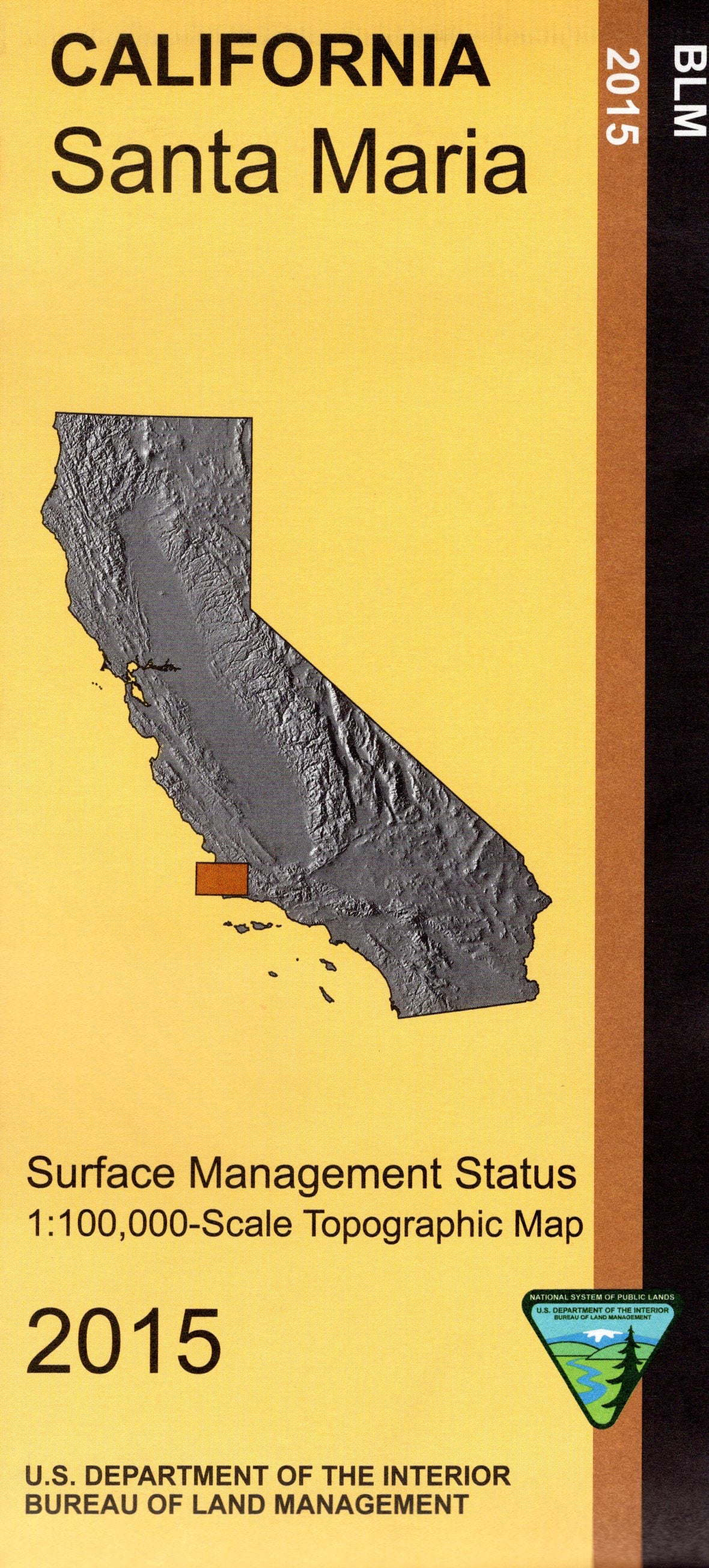
Map: Santa Maria CA - CA470S
Map shows a section of Los Padres National Forest east of Santa Maria, and Vandenburg Air Force Base along the coastline. Official Bureau of Land Management metric topographic map @1:100,000 scale (roughly 3/4"=1 mile), color-coded to show surface management, i.e. agency vs. private or tribal ownership. Map shows roads, water features, points of interest, and the township and range lines. Use this map for Deer Hunting in Unit A South 110. 2015
Original: $8.99
-65%$8.99
$3.15Product Information
Product Information
Shipping & Returns
Shipping & Returns
Description
Map shows a section of Los Padres National Forest east of Santa Maria, and Vandenburg Air Force Base along the coastline. Official Bureau of Land Management metric topographic map @1:100,000 scale (roughly 3/4"=1 mile), color-coded to show surface management, i.e. agency vs. private or tribal ownership. Map shows roads, water features, points of interest, and the township and range lines. Use this map for Deer Hunting in Unit A South 110. 2015


