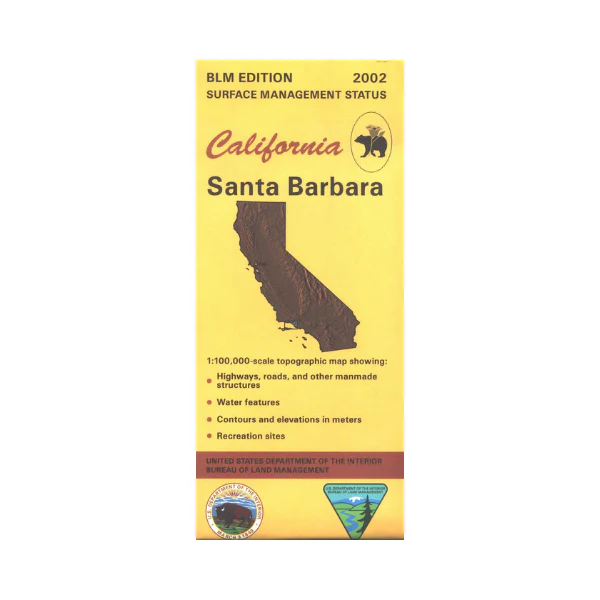
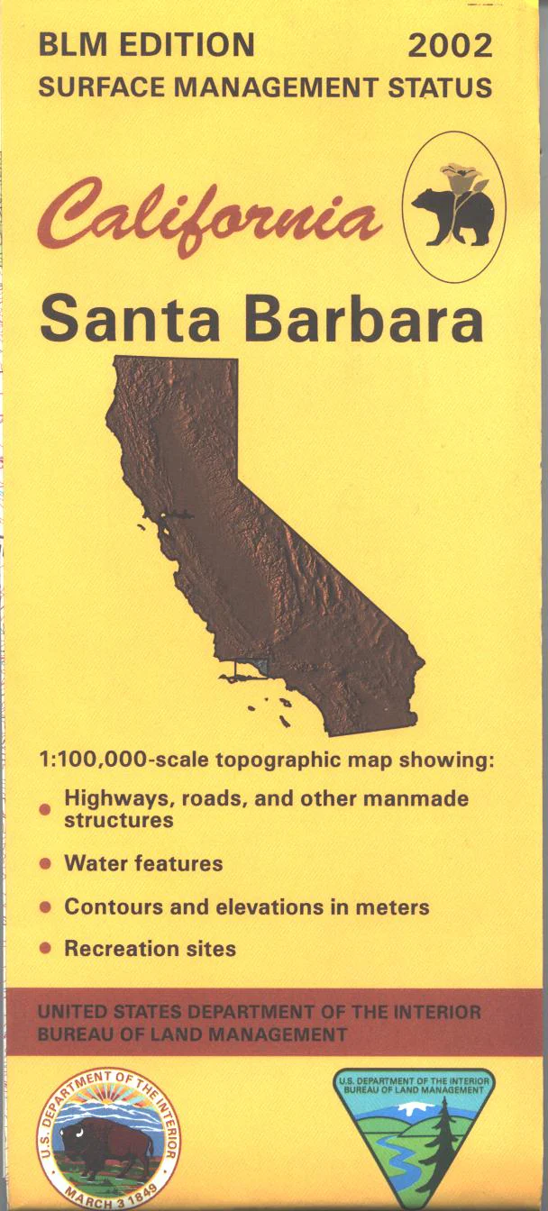
Map: Santa Barbara CA - CA460S
Map shows the coastline from Isla Vista south to Santa Monica Mountains State Park, and east from Isla Vista to Santa Paula. Map includes a section of Los Padres National Forest northeast of Santa Barbara with the campgrounds marked. Official Bureau of Land Management metric topographic map @1:100,000 scale (roughly 3/4"=1 mile), color-coded to show surface management, i.e. agency vs. private or tribal ownership. Map shows roads, water features, recreation sites, points of interest, and the township and range lines. Maps show trails and developed recreation areas such as campgrounds. Use this map for Deer Hunting in Unit A South and D13. 2002
Original: $8.99
-65%$8.99
$3.15Product Information
Product Information
Shipping & Returns
Shipping & Returns
Description
Map shows the coastline from Isla Vista south to Santa Monica Mountains State Park, and east from Isla Vista to Santa Paula. Map includes a section of Los Padres National Forest northeast of Santa Barbara with the campgrounds marked. Official Bureau of Land Management metric topographic map @1:100,000 scale (roughly 3/4"=1 mile), color-coded to show surface management, i.e. agency vs. private or tribal ownership. Map shows roads, water features, recreation sites, points of interest, and the township and range lines. Maps show trails and developed recreation areas such as campgrounds. Use this map for Deer Hunting in Unit A South and D13. 2002


