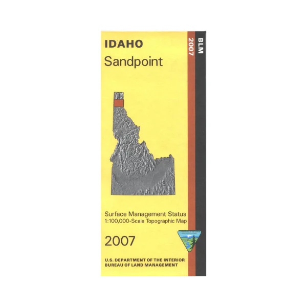
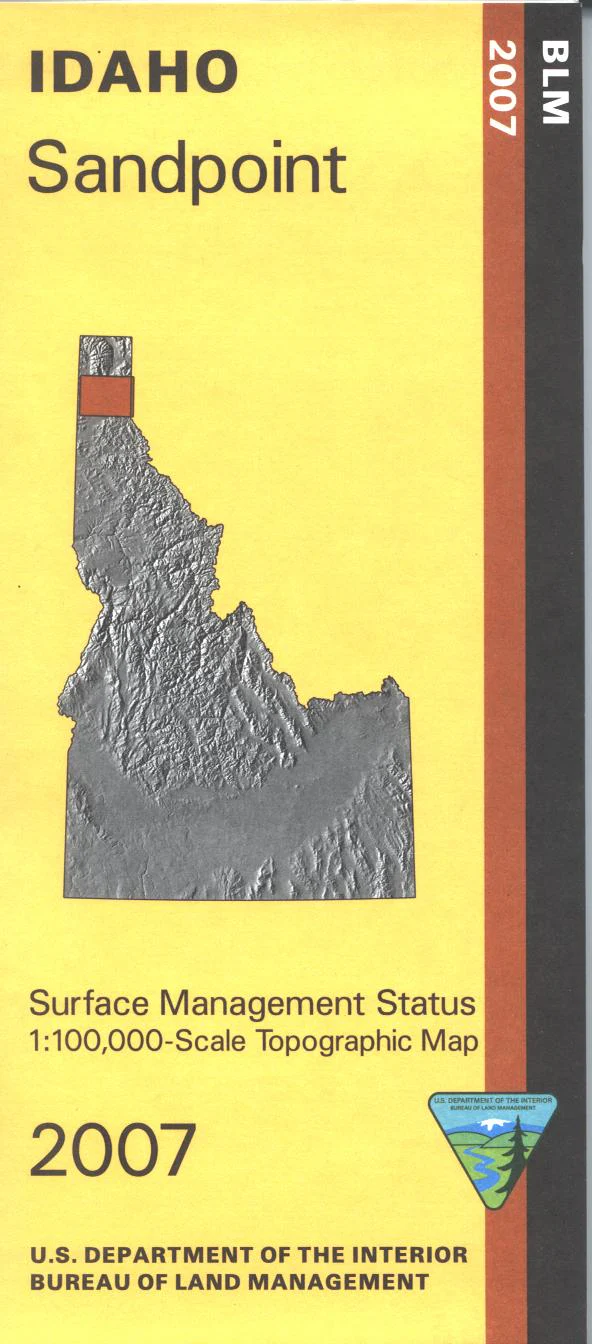
Map: Sandpoint ID - ID1060S
A great map to have while exploring the area around Sandpoint. Explore the Kaniksu National Forest; roads, points of interest, campgrounds, and hiking trails are marked. Boating, fishing, camping, watersports, and swimming on Lake Pend Oreille. Scenic drive on the Panhandle Historic River Scenic Byway along the eastern lakeshore and the Clark Fork River. Also enjoy scenic driving on the Pend Oreille State Scenic Byway which follows along the Pend Oreille River west of Sandpoint. Official Bureau of Land Management metric topographic map @1:100,000 scale (roughly 3/4"`1 mile), color-coded to show Surface Management/ownership. Map shows roads, forest roads, waterways, recreation sites, trails, and points of interest. Map is useful for ID Hunting Units 1, 2, 4A, and MT Deer and Elk Hunting Unit 100. 2007
Product Information
Product Information
Shipping & Returns
Shipping & Returns
Description
A great map to have while exploring the area around Sandpoint. Explore the Kaniksu National Forest; roads, points of interest, campgrounds, and hiking trails are marked. Boating, fishing, camping, watersports, and swimming on Lake Pend Oreille. Scenic drive on the Panhandle Historic River Scenic Byway along the eastern lakeshore and the Clark Fork River. Also enjoy scenic driving on the Pend Oreille State Scenic Byway which follows along the Pend Oreille River west of Sandpoint. Official Bureau of Land Management metric topographic map @1:100,000 scale (roughly 3/4"`1 mile), color-coded to show Surface Management/ownership. Map shows roads, forest roads, waterways, recreation sites, trails, and points of interest. Map is useful for ID Hunting Units 1, 2, 4A, and MT Deer and Elk Hunting Unit 100. 2007


