
Map: Sandia Mountains (Dharma Maps) NM
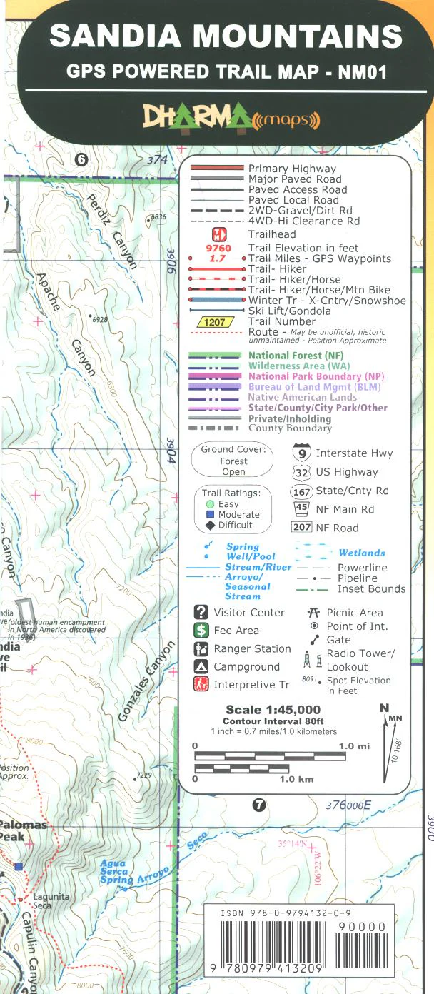
This is a new tear proof, water resistant map which covers the Cibola National Forest -Sandia Mountains east of Albuquerque. It includes trails, roads, and picnic areas. From the west side take the tram up to the mountain top, or drive the scenic road up the east side. GPS is available. 2007
$9.95
Map: Sandia Mountains (Dharma Maps) NM—
$9.95
Product Information
Product Information
Shipping & Returns
Shipping & Returns
Description
This is a new tear proof, water resistant map which covers the Cibola National Forest -Sandia Mountains east of Albuquerque. It includes trails, roads, and picnic areas. From the west side take the tram up to the mountain top, or drive the scenic road up the east side. GPS is available. 2007


