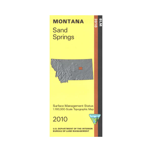
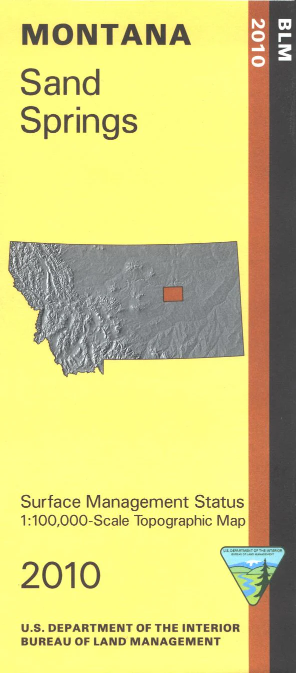
Map: Sand Springs MT - MT1168S
Explore the section of Charles M Russell National Wildlife Refuge/Fort Peck Lake northwest of Sand Springs. Camping, boating, fishing, and hiking at Crook Creek Campground. Explore the expansive BLM lands adjacent to the section of wildlife refuge shown on this map.Official Bureau of Land Management metric topographic map @1:100,000 scale (roughly 3/4"`1 mile), color-coded to show surface
management, i.e. agency vs. private or tribal ownership. Map shows color coded public and private ownership, roads, water features, points of interest and the township and range lines. Use this map for hunting Deer, Elk, and Mountain Lion in Units 410, 700, and 701. 2010
Original: $8.99
-65%$8.99
$3.15Product Information
Product Information
Shipping & Returns
Shipping & Returns
Description
Explore the section of Charles M Russell National Wildlife Refuge/Fort Peck Lake northwest of Sand Springs. Camping, boating, fishing, and hiking at Crook Creek Campground. Explore the expansive BLM lands adjacent to the section of wildlife refuge shown on this map.Official Bureau of Land Management metric topographic map @1:100,000 scale (roughly 3/4"`1 mile), color-coded to show surface
management, i.e. agency vs. private or tribal ownership. Map shows color coded public and private ownership, roads, water features, points of interest and the township and range lines. Use this map for hunting Deer, Elk, and Mountain Lion in Units 410, 700, and 701. 2010


