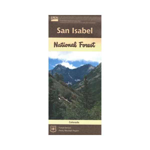
Map: San Isabel National Forest CO
The map covers all or a portion of one national forest. The maps show roads, trails, streams, lakes, recreation sites, land
ownership, and major points of interest. Recreational opportunities provided at Turquoise Lakes, and Twin Lakes Recreation Areas south of Leadville. Enjoy camping, fishing, boating, hiking, and scenic driving. West of Colorado City visit Lake Isabel Recreation Area. Hiking, backpacking, or horse riding in any of the wilderness areas; included are Collegiate Peaks, Buffalo Peaks, Forest Hunter Frying Pan, and Sangre De Cristo. The map includes information about motorized off-road travel on back country roads or trails (ATVs, motorcycles, etc.) Map is useful for CO Hunting Units 69, 82, 84, 85, 86, and 861. The scale is 1/2"= mile. Printed on synthetic mixed paper. 2018
Original: $19.99
-65%$19.99
$7.00Product Information
Product Information
Shipping & Returns
Shipping & Returns
Description
The map covers all or a portion of one national forest. The maps show roads, trails, streams, lakes, recreation sites, land
ownership, and major points of interest. Recreational opportunities provided at Turquoise Lakes, and Twin Lakes Recreation Areas south of Leadville. Enjoy camping, fishing, boating, hiking, and scenic driving. West of Colorado City visit Lake Isabel Recreation Area. Hiking, backpacking, or horse riding in any of the wilderness areas; included are Collegiate Peaks, Buffalo Peaks, Forest Hunter Frying Pan, and Sangre De Cristo. The map includes information about motorized off-road travel on back country roads or trails (ATVs, motorcycles, etc.) Map is useful for CO Hunting Units 69, 82, 84, 85, 86, and 861. The scale is 1/2"= mile. Printed on synthetic mixed paper. 2018


