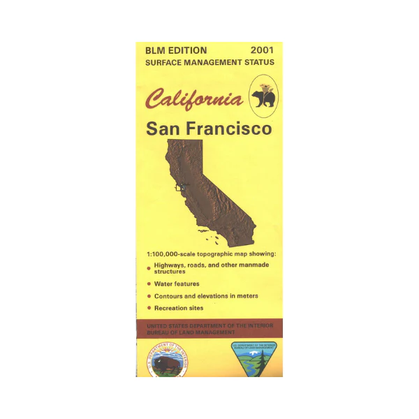
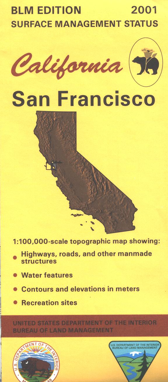
Map: San Francisco CA - CA430S
Map covers lands from Concord west to coastline/Point Reyes National Seashore, then south to Half Moon Bay, and east to Fremont. Opportunities for camping, hiking, bicycling, and wildlife viewing at the Golden Gate Recreation Areas. Explore the various parks located near San Francisco or east of the Berkley/ Oakland area. Official Bureau of Land Management metric topographic map @1:100,000 scale (roughly 3/4"=1 mile), color-coded to show surface management, i.e. agency vs. private or tribal ownership. Map shows roads, water features, recreation sites, points of interest, and the township and range lines. Use this map for Deer Hunting in Unit A South 110. 2001
Original: $8.99
-65%$8.99
$3.15Product Information
Product Information
Shipping & Returns
Shipping & Returns
Description
Map covers lands from Concord west to coastline/Point Reyes National Seashore, then south to Half Moon Bay, and east to Fremont. Opportunities for camping, hiking, bicycling, and wildlife viewing at the Golden Gate Recreation Areas. Explore the various parks located near San Francisco or east of the Berkley/ Oakland area. Official Bureau of Land Management metric topographic map @1:100,000 scale (roughly 3/4"=1 mile), color-coded to show surface management, i.e. agency vs. private or tribal ownership. Map shows roads, water features, recreation sites, points of interest, and the township and range lines. Use this map for Deer Hunting in Unit A South 110. 2001


