Map: San Diego CA - CA425S
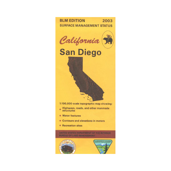
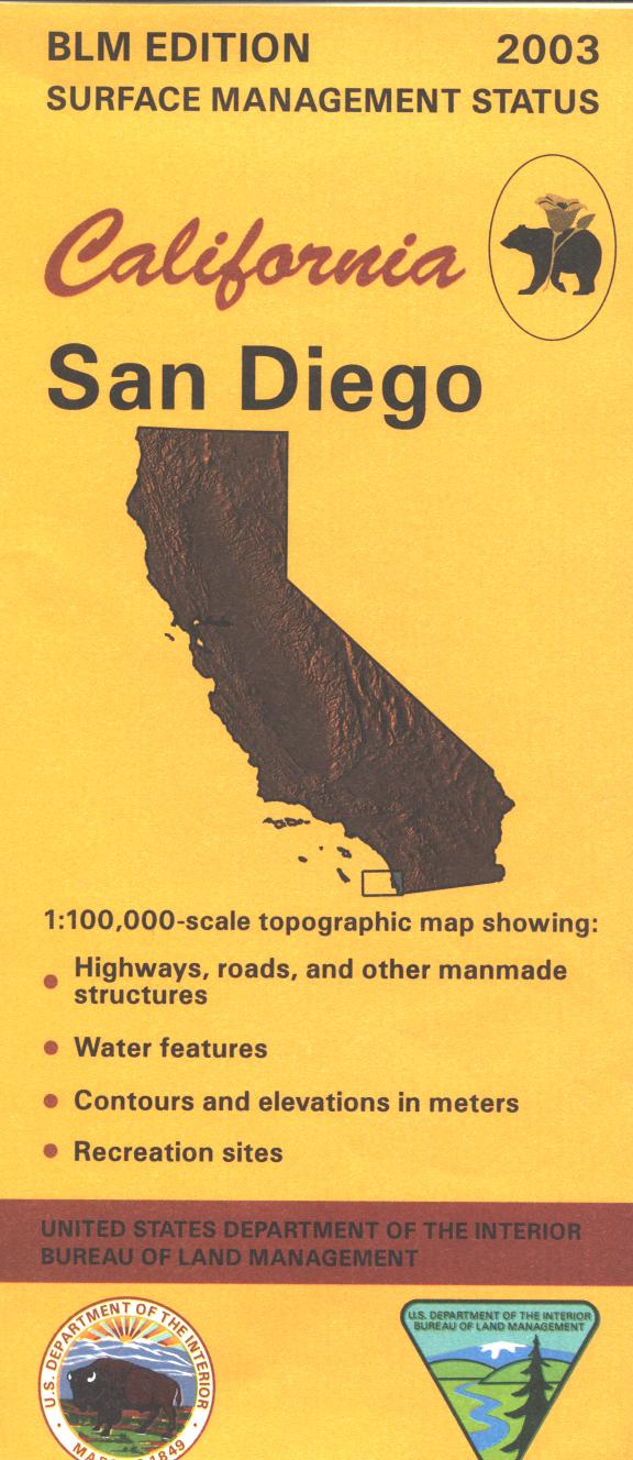
Visit Torrey Pines State Beach north of La Jolla for fishing, swimming, hiking, and wildlife viewing. Map shows the coastline from the Mexico border north to Solano Beach, and from Loma Point and Coronado Island east to Spring Valley. In San Diego visit Balboa Park, Mission Bay Park, Old Town, or Coronado Island. Official Bureau of Land Management metric topographic map @1:100,000 scale (roughly 3/4"=1 mile), color-coded to show surface management, i.e. agency vs. private or tribal ownership. Map shows roads, water features, recreation sites, points of interest, and the township and range lines. Use this map for Deer Hunting Unit D 16. 2003
Product Information
Product Information
Shipping & Returns
Shipping & Returns
Description
Visit Torrey Pines State Beach north of La Jolla for fishing, swimming, hiking, and wildlife viewing. Map shows the coastline from the Mexico border north to Solano Beach, and from Loma Point and Coronado Island east to Spring Valley. In San Diego visit Balboa Park, Mission Bay Park, Old Town, or Coronado Island. Official Bureau of Land Management metric topographic map @1:100,000 scale (roughly 3/4"=1 mile), color-coded to show surface management, i.e. agency vs. private or tribal ownership. Map shows roads, water features, recreation sites, points of interest, and the township and range lines. Use this map for Deer Hunting Unit D 16. 2003


