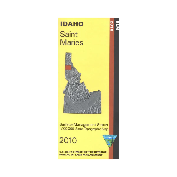
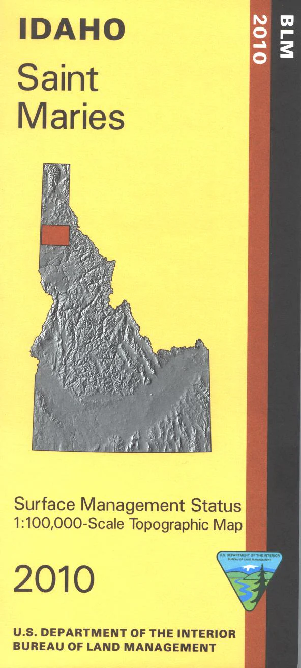
Map: Saint Maries ID - ID1058S
From St. Maries travel north to Coeur D' Alene Lake with camping, boating, and fishing. Scenic driving on the White Pine Scenic Byway, or along the St. Joe River. Several national recreation trials in St. Joe National Forest are marked on the map. Official Bureau of Land Management metric topographic map @1:100,000 scale (roughly 3/4"`1 mile), color-coded to show Surface Management/ownership. Map shows roads, forest roads, OHV roads, waterways, recreation sites, trails, and points of interest. Map is useful for OHV use, and ID Hunting Units 3, 4, 5, 6, 8, and 8A. 2010
Product Information
Product Information
Shipping & Returns
Shipping & Returns
Description
From St. Maries travel north to Coeur D' Alene Lake with camping, boating, and fishing. Scenic driving on the White Pine Scenic Byway, or along the St. Joe River. Several national recreation trials in St. Joe National Forest are marked on the map. Official Bureau of Land Management metric topographic map @1:100,000 scale (roughly 3/4"`1 mile), color-coded to show Surface Management/ownership. Map shows roads, forest roads, OHV roads, waterways, recreation sites, trails, and points of interest. Map is useful for OHV use, and ID Hunting Units 3, 4, 5, 6, 8, and 8A. 2010


