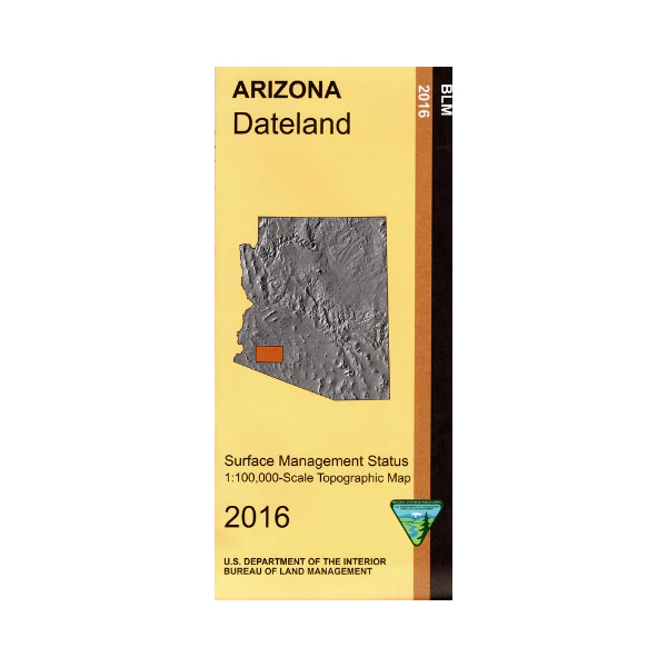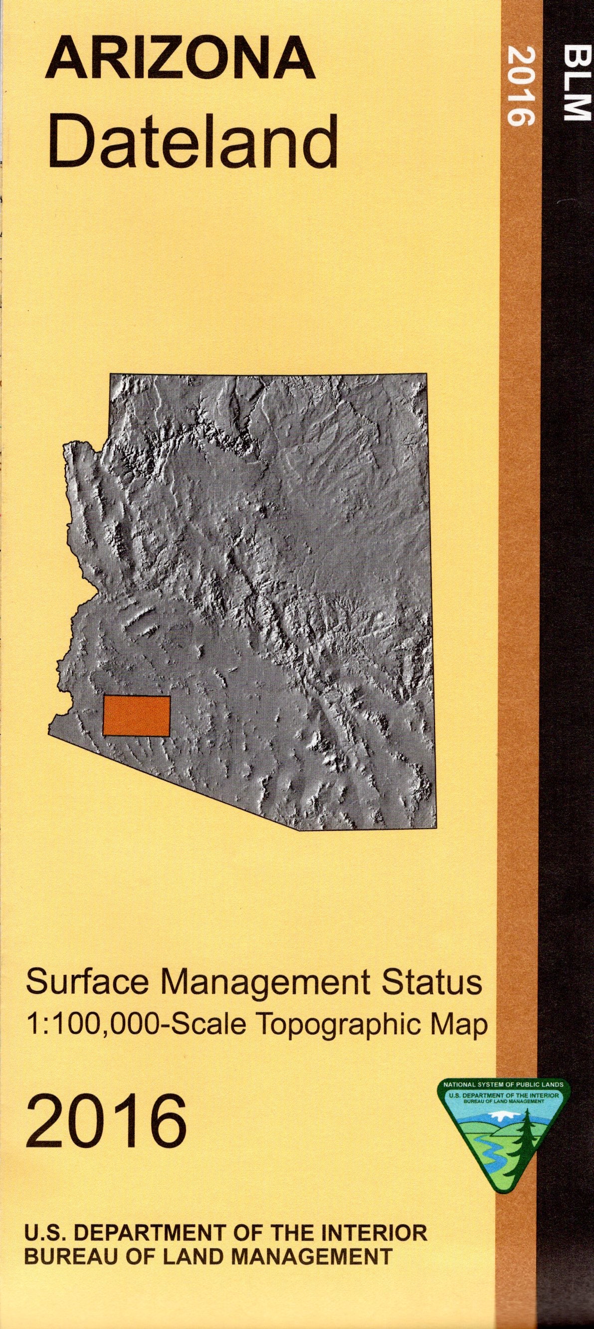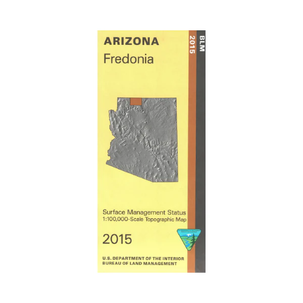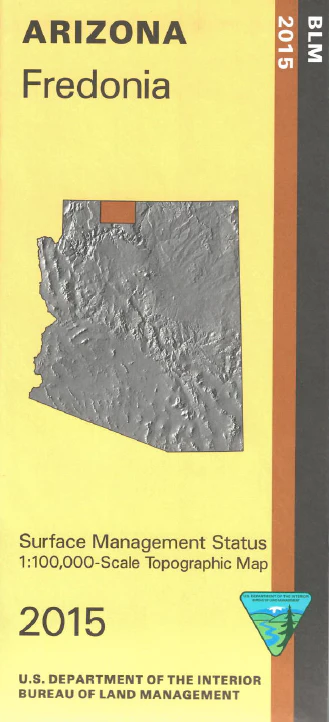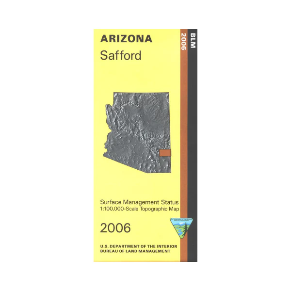
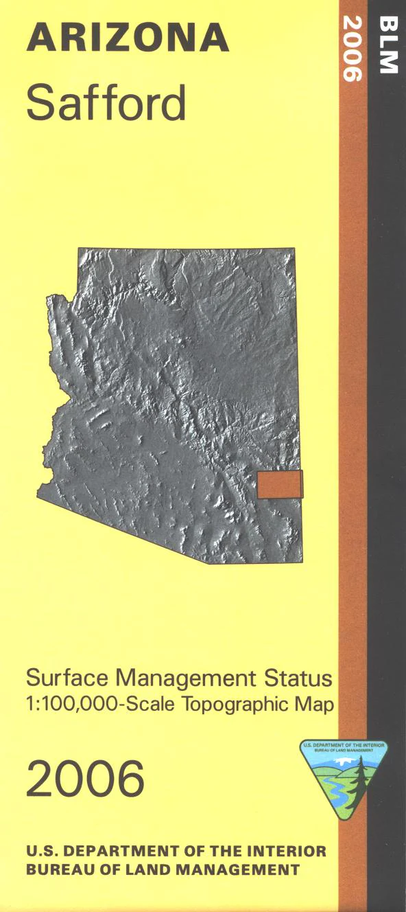
Map: Safford AZ - AZ140S
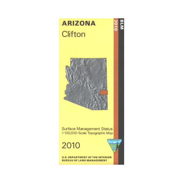
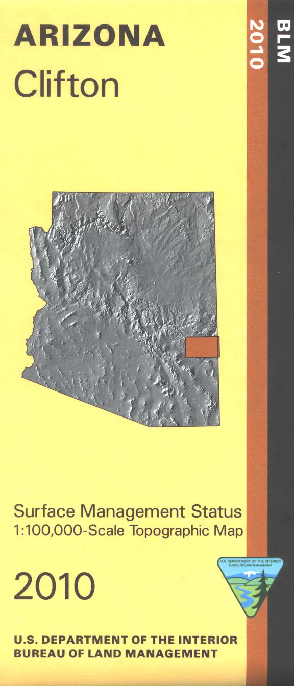
BLM map shows roads, campgrounds, and topographic detail. Differentiates between public and private land, and also among the various agencies who manage the public lands. Includes Coronado National Forest and Mount Graham campgrounds, Roper Lake and Dankworth Pond State Parks, Gila Box Riparian National Conservation Area, and extensive public land areas. Camping, hiking, hunting, horseback riding, scenic driving, and fishing. Map is useful for OHV riding including at Hot Wells Dunes Recreation Area southeast of Safford AZ. Useful for AZ Hunting Units 28 and 31. Scale 1:100,000. 2016
Original: $8.99
-65%$8.99
$3.15Product Information
Product Information
Shipping & Returns
Shipping & Returns
Description
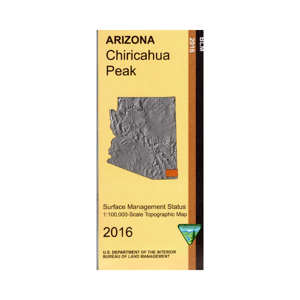
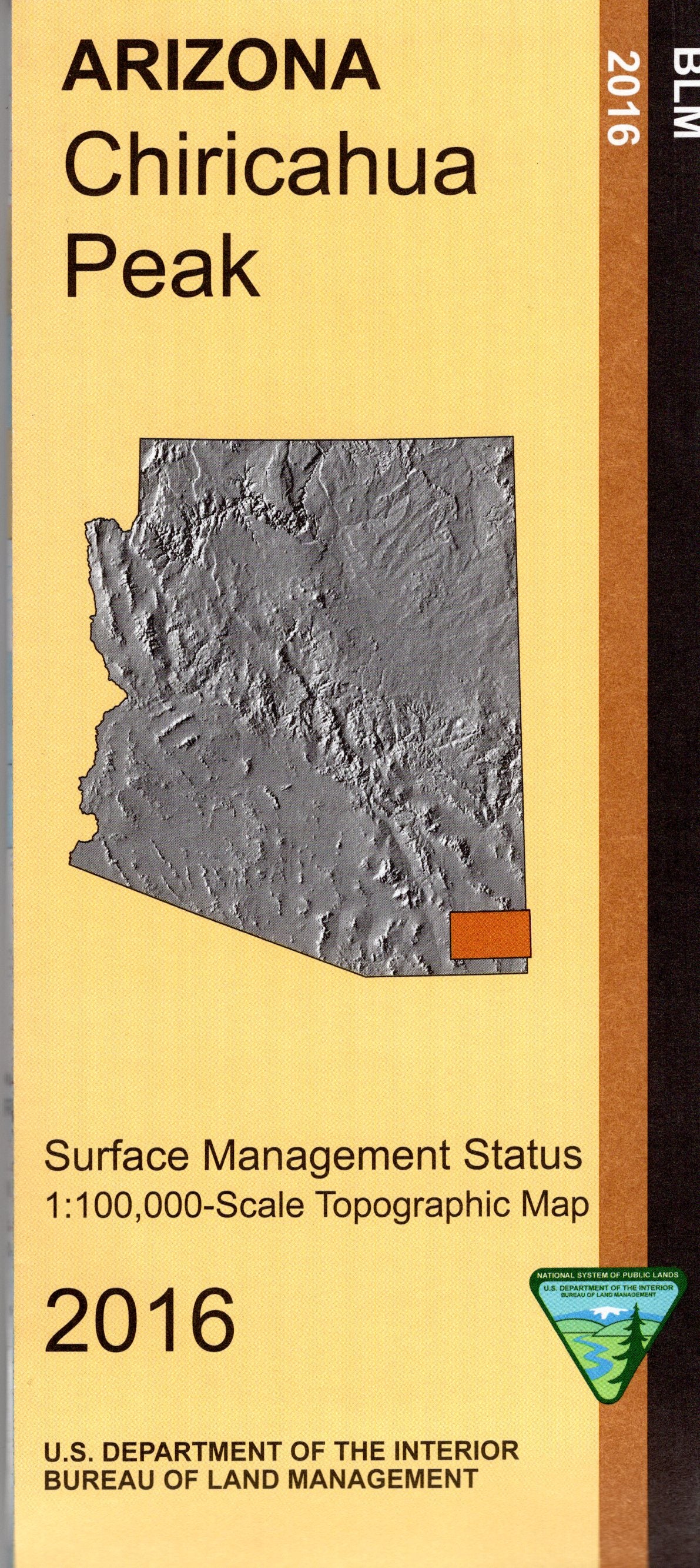
BLM map shows roads, campgrounds, and topographic detail. Differentiates between public and private land, and also among the various agencies who manage the public lands. Includes Coronado National Forest and Mount Graham campgrounds, Roper Lake and Dankworth Pond State Parks, Gila Box Riparian National Conservation Area, and extensive public land areas. Camping, hiking, hunting, horseback riding, scenic driving, and fishing. Map is useful for OHV riding including at Hot Wells Dunes Recreation Area southeast of Safford AZ. Useful for AZ Hunting Units 28 and 31. Scale 1:100,000. 2016