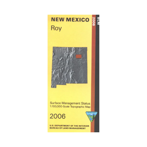
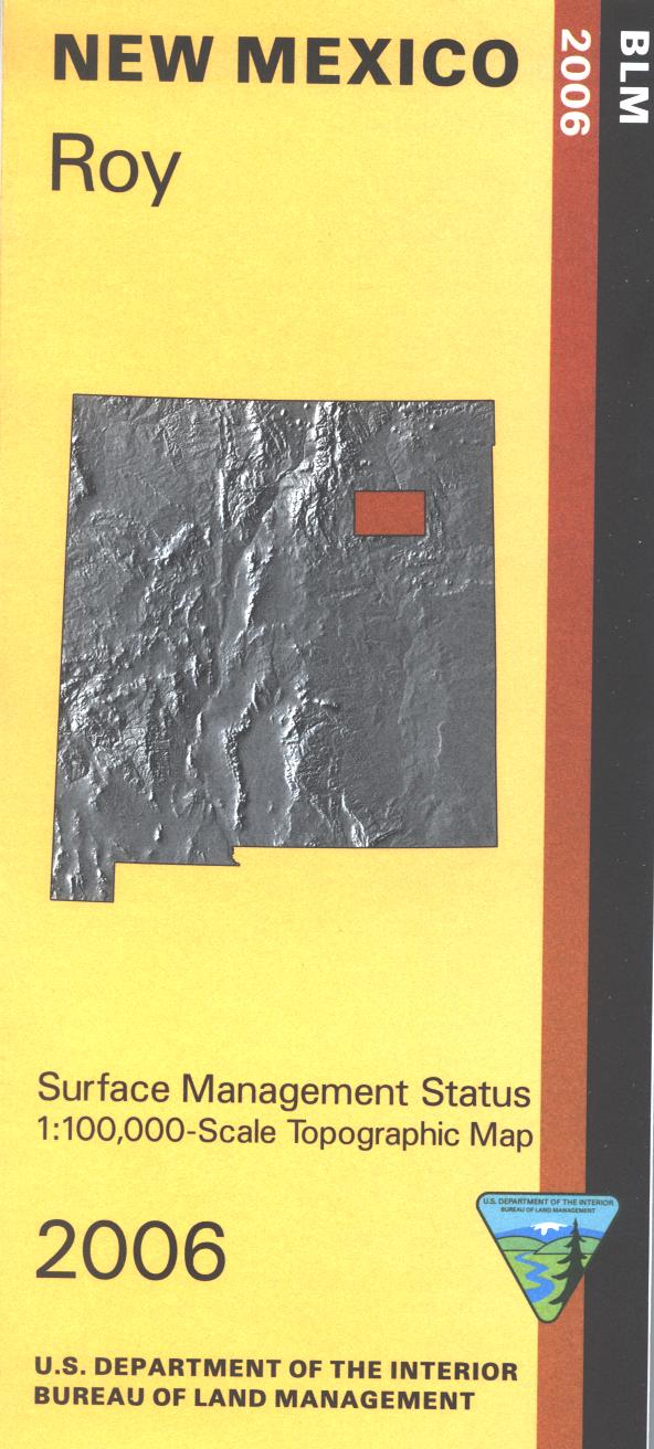
Map: Roy NM - NM044S
Official Bureau of Land Management topographic maps @1:100,000 metric scale (roughly 3/4" = 1 mile), are color-coded to show federally-managed public lands; plus state, private, or tribal lands, military withdrawals, roads and trails, lakes, rivers and streams, and developed recreation areas. NOTE: this portion of northeastern New Mexico is almost exclusively private or State Trust lands (which require a hunting license or Day Use permit for recreational use). This is a great map to have while stalking game in Hunting Units 42, 46, 47, and 41, fishing (where available) on the Canadian River, wildlife watching at Sabinoso Canyon, hiking or backpacking across the prairie, mountain biking or OHV and ATV riding on County and ranch roads (where permitted). Includes roads and lands in San Miguel, Mora and Harding Counties, including part of the Kiowa National Grasslands. 2006
Original: $8.99
-65%$8.99
$3.15Product Information
Product Information
Shipping & Returns
Shipping & Returns
Description
Official Bureau of Land Management topographic maps @1:100,000 metric scale (roughly 3/4" = 1 mile), are color-coded to show federally-managed public lands; plus state, private, or tribal lands, military withdrawals, roads and trails, lakes, rivers and streams, and developed recreation areas. NOTE: this portion of northeastern New Mexico is almost exclusively private or State Trust lands (which require a hunting license or Day Use permit for recreational use). This is a great map to have while stalking game in Hunting Units 42, 46, 47, and 41, fishing (where available) on the Canadian River, wildlife watching at Sabinoso Canyon, hiking or backpacking across the prairie, mountain biking or OHV and ATV riding on County and ranch roads (where permitted). Includes roads and lands in San Miguel, Mora and Harding Counties, including part of the Kiowa National Grasslands. 2006


