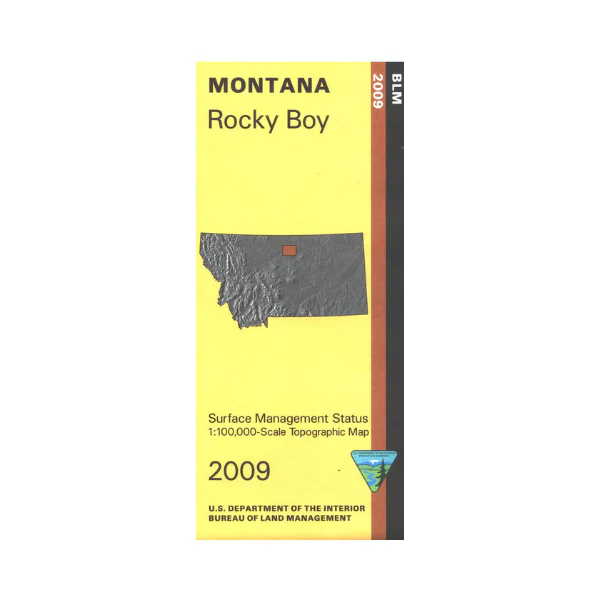
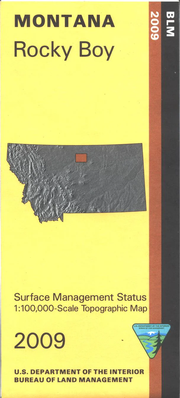
Map: Rocky Boy MT - MT1165S
Map shows Rocky Boys Indian Reservation, Beaver Creek County Park(camping, fishing, and hiking), and the northern part of Upper Missouri River Breaks Monument. Official Bureau of Land Management metric topographic map
@1:100,000 scale (roughly 3/4"`1 mile), color-coded to show surface
management, i.e. agency vs. private or tribal ownership. Map shows color coded public and private ownership, roads, water features, recreation sites, points of interest, and the township
and range lines. Use this map for hunting Deer, Elk, and Mountain Lion in Units 680, and 690. 2019
Original: $8.99
-65%$8.99
$3.15Product Information
Product Information
Shipping & Returns
Shipping & Returns
Description
Map shows Rocky Boys Indian Reservation, Beaver Creek County Park(camping, fishing, and hiking), and the northern part of Upper Missouri River Breaks Monument. Official Bureau of Land Management metric topographic map
@1:100,000 scale (roughly 3/4"`1 mile), color-coded to show surface
management, i.e. agency vs. private or tribal ownership. Map shows color coded public and private ownership, roads, water features, recreation sites, points of interest, and the township
and range lines. Use this map for hunting Deer, Elk, and Mountain Lion in Units 680, and 690. 2019


