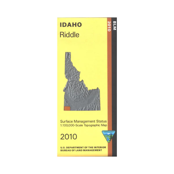
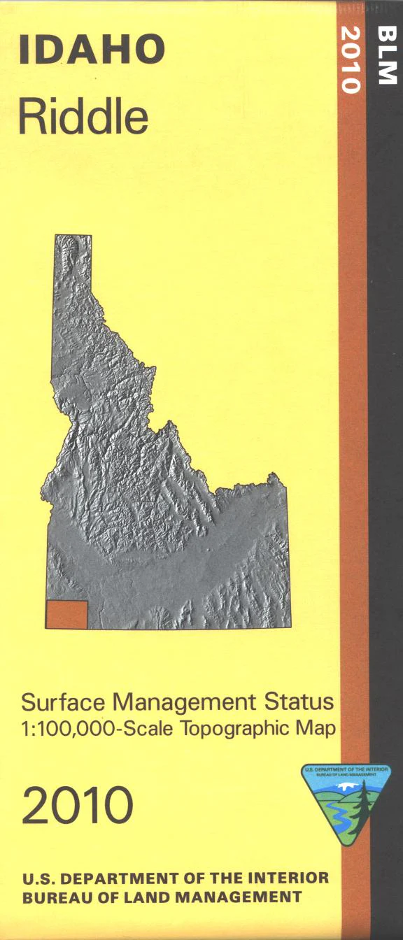
Map: Riddle ID - ID1054S
Map covers BLM lands surrounding the Owyhee River and it's junction with South Fork Owyhee River, both Wild and Scenic Rivers. Launch sites for floating the rivers are marked. Explore BLM lands north and west of Riddle to near the Oregon border, Duck Valley Indian Reservation is south of Riddle. Official Bureau of Land Management metric topographic map @1:100,000 scale (roughly 3/4"`1 mile), color-coded to show Surface Management/ownership. Map shows roads, BLM roads, waterways, recreation sites, and points of interest. Map is useful for OHV use and ID Hunting Units 41, 42. 2010
Original: $8.99
-65%$8.99
$3.15Product Information
Product Information
Shipping & Returns
Shipping & Returns
Description
Map covers BLM lands surrounding the Owyhee River and it's junction with South Fork Owyhee River, both Wild and Scenic Rivers. Launch sites for floating the rivers are marked. Explore BLM lands north and west of Riddle to near the Oregon border, Duck Valley Indian Reservation is south of Riddle. Official Bureau of Land Management metric topographic map @1:100,000 scale (roughly 3/4"`1 mile), color-coded to show Surface Management/ownership. Map shows roads, BLM roads, waterways, recreation sites, and points of interest. Map is useful for OHV use and ID Hunting Units 41, 42. 2010


