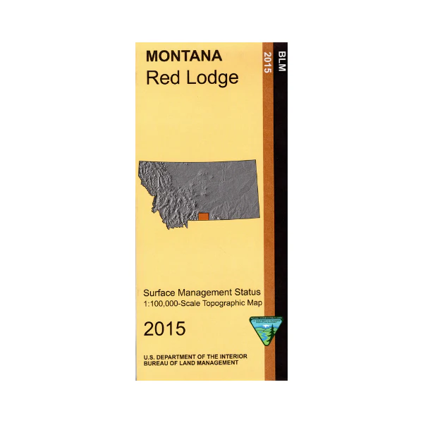
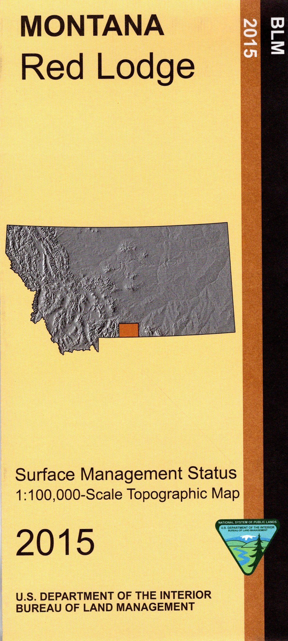
Map: Red Lodge MT - MT1158S
From Red Lodge scenic drive the Beartooth Highway Scenic Byway south through Custer National Forest to Cooke City and then to Yellowstone National Park;campgrounds along the way are marked. The Absaroka Beartooth Wilderness west of Red Lodge is shown along with several hiking/horse riding trail accesses on forest roads. To explore the BLM lands east and south of Red Lodge head east to Belfry. Official Bureau of Land Management metric topographic map @1:100,000 scale (roughly 3/4"`1 mile), color-coded to show surface
management, i.e. agency vs. private or tribal ownership. Map shows color coded public and private ownership, roads, water features, recreation sites, points of interest, and the township and range lines. Use this map for hunting Deer and Elk in Units 316, 502, 510, 520, and 575; and for hunting Moose in Units 322, 512, 513, 514, and 515. 2015
Original: $8.99
-65%$8.99
$3.15Product Information
Product Information
Shipping & Returns
Shipping & Returns
Description
From Red Lodge scenic drive the Beartooth Highway Scenic Byway south through Custer National Forest to Cooke City and then to Yellowstone National Park;campgrounds along the way are marked. The Absaroka Beartooth Wilderness west of Red Lodge is shown along with several hiking/horse riding trail accesses on forest roads. To explore the BLM lands east and south of Red Lodge head east to Belfry. Official Bureau of Land Management metric topographic map @1:100,000 scale (roughly 3/4"`1 mile), color-coded to show surface
management, i.e. agency vs. private or tribal ownership. Map shows color coded public and private ownership, roads, water features, recreation sites, points of interest, and the township and range lines. Use this map for hunting Deer and Elk in Units 316, 502, 510, 520, and 575; and for hunting Moose in Units 322, 512, 513, 514, and 515. 2015


