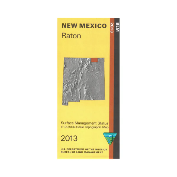
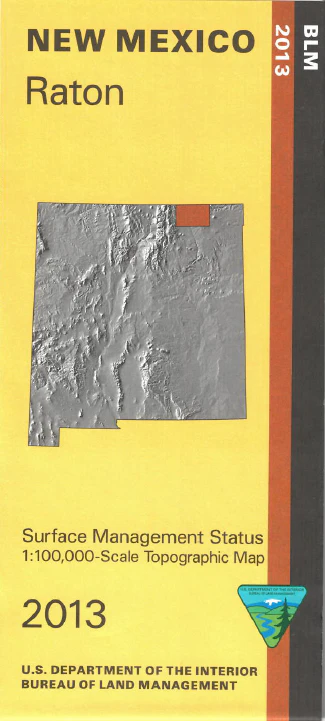
Map: Raton NM - NM042S
Official Bureau of Land Management topographic maps @1:100,000 metric scale (roughly 3/4" = 1 mile), are color-coded to show federally-managed public lands; plus state, private, or tribal lands, military withdrawals, roads and trails, lakes, rivers and streams, and developed recreation areas. This is a great map to have while stalking game in Hunting Units 55, 56, and 57, fishing, wildlife watching at Maxwell National Wildlife Refuge, hiking, backpacking, boating, mountain biking or camping at Sugarite Canyon State Park, or OHV and ATV riding on county and ranch roads (where permitted). Includes roads and lands in Colfax County. 2013
Product Information
Product Information
Shipping & Returns
Shipping & Returns
Description
Official Bureau of Land Management topographic maps @1:100,000 metric scale (roughly 3/4" = 1 mile), are color-coded to show federally-managed public lands; plus state, private, or tribal lands, military withdrawals, roads and trails, lakes, rivers and streams, and developed recreation areas. This is a great map to have while stalking game in Hunting Units 55, 56, and 57, fishing, wildlife watching at Maxwell National Wildlife Refuge, hiking, backpacking, boating, mountain biking or camping at Sugarite Canyon State Park, or OHV and ATV riding on county and ranch roads (where permitted). Includes roads and lands in Colfax County. 2013


