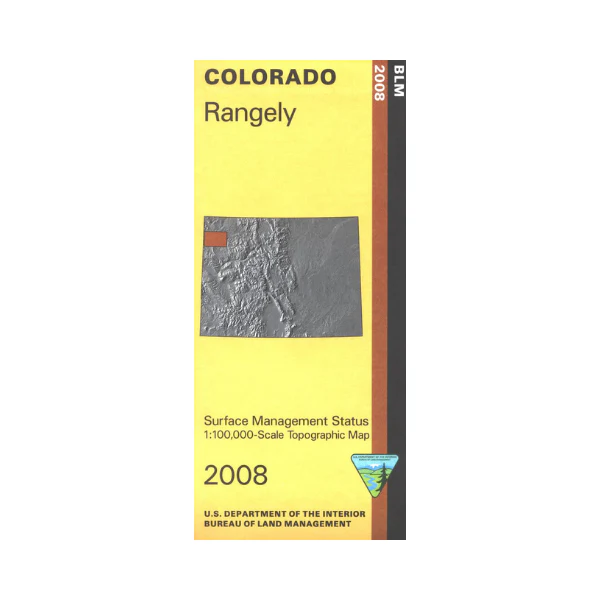
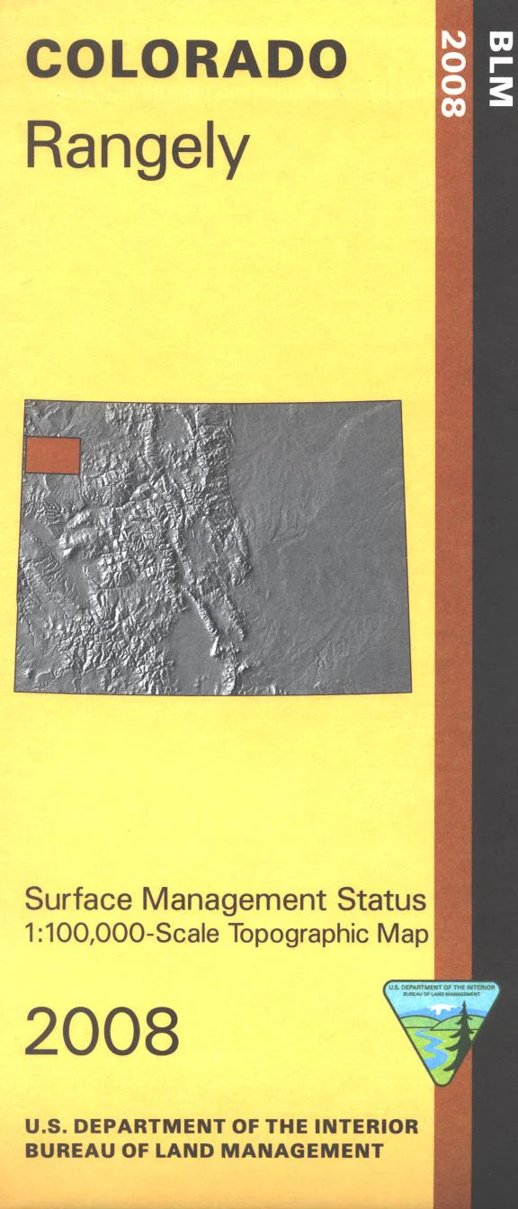
Map: Rangely CO - CO145S
The BLM quadrant maps are scaled at 1:100,000, and cover an area of about 30 x 50 miles. See where the ancient giants roamed this country at the south part of Dinosaur National Monument; campground available. Map includes extensive BLM lands with a wild horse herd management area east of Rangely. Map is useful for OHV use, and Colorado Hunting Units 2, 10, 11, 21, 22 and 211. Ownership status is denoted by color, and roads, lakes, streams, and other topographical features are marked on these maps. 2008
Product Information
Product Information
Shipping & Returns
Shipping & Returns
Description
The BLM quadrant maps are scaled at 1:100,000, and cover an area of about 30 x 50 miles. See where the ancient giants roamed this country at the south part of Dinosaur National Monument; campground available. Map includes extensive BLM lands with a wild horse herd management area east of Rangely. Map is useful for OHV use, and Colorado Hunting Units 2, 10, 11, 21, 22 and 211. Ownership status is denoted by color, and roads, lakes, streams, and other topographical features are marked on these maps. 2008


