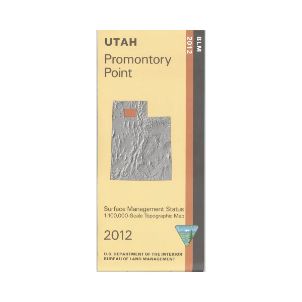
Map: Promontory Point UT - UT129S
Map shows mostly the Great Salt Lake and Promontory Mountains southwest of Brigham City. Visit the Bear River Migratory Bird Refuge, and Willard Bay State Park with opportunities for wildlife viewing, boating, fishing, auto touring, or camping(state park). Official Bureau of Land Management metric topographic map @1:100,000 scale (roughly 3/4"`1 mile), color-coded to show Surface Management/ownership i.e. agency vs. private or tribal. Map shows roads, water features, recreation sites, points of interest, and township and range lines. Use this map to hunt in the Box Elder hunting unit. Updated 2012.
Product Information
Product Information
Shipping & Returns
Shipping & Returns
Description
Map shows mostly the Great Salt Lake and Promontory Mountains southwest of Brigham City. Visit the Bear River Migratory Bird Refuge, and Willard Bay State Park with opportunities for wildlife viewing, boating, fishing, auto touring, or camping(state park). Official Bureau of Land Management metric topographic map @1:100,000 scale (roughly 3/4"`1 mile), color-coded to show Surface Management/ownership i.e. agency vs. private or tribal. Map shows roads, water features, recreation sites, points of interest, and township and range lines. Use this map to hunt in the Box Elder hunting unit. Updated 2012.


