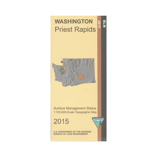
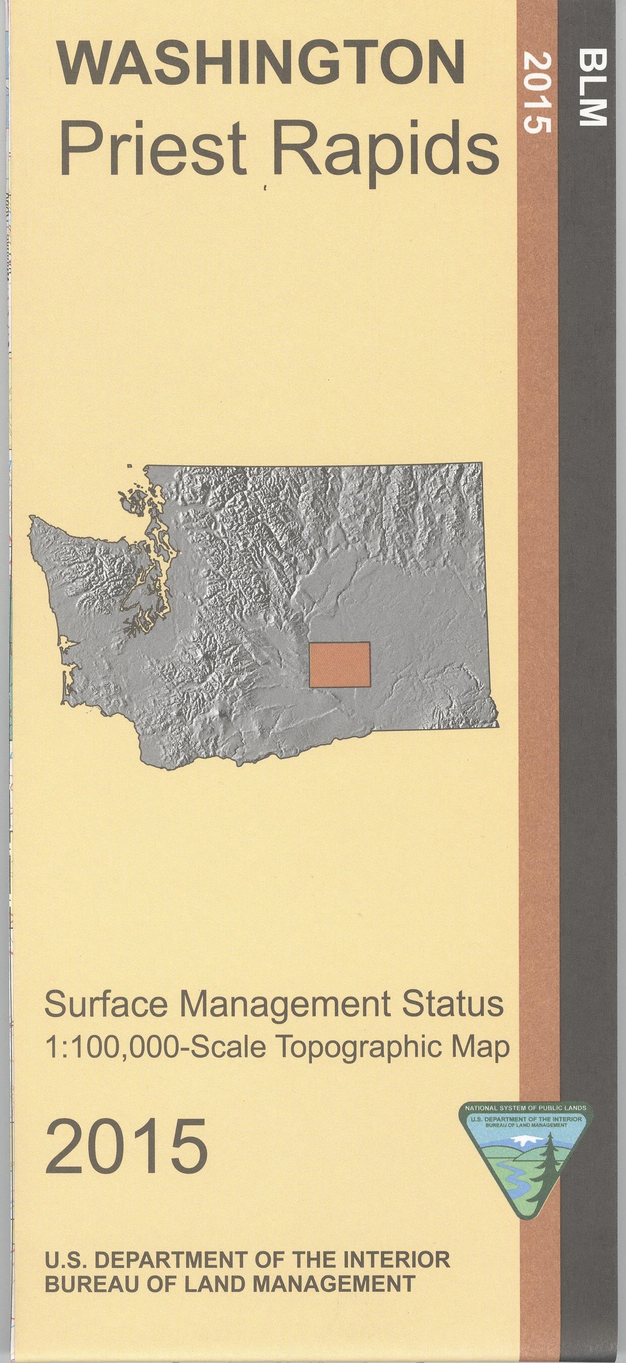
Map: Priest Rapids WA - WA028S
Map shows Wanapum Lake and Priest Rapids Lake,the Columbia River, sections of the Columbia National Wildlife Refuge, and Hanford Reach National Monument/Hanford Works(no public access). West of Othello camping, fishing, and boating opportunities are available at Priest Rapids and Wanapum Lakes. From Othello travel south to Scooteney Reservoir Recreation Area for camping, fishing, and boating; or travel north to the national wildlife refuge units for camping, fishing, boating, and wildlife viewing. This official BLM map shows color-coded federal, state, and private lands, topographic detail, roads, water features, recreation sites, points of interest, place names, county boundaries, and township and range lines. Use this map for hunting in Units 278, 290, and 379.
Scale is 1:100,000, roughly 3/4 inch to 1 mile. 2015
Product Information
Product Information
Shipping & Returns
Shipping & Returns
Description
Map shows Wanapum Lake and Priest Rapids Lake,the Columbia River, sections of the Columbia National Wildlife Refuge, and Hanford Reach National Monument/Hanford Works(no public access). West of Othello camping, fishing, and boating opportunities are available at Priest Rapids and Wanapum Lakes. From Othello travel south to Scooteney Reservoir Recreation Area for camping, fishing, and boating; or travel north to the national wildlife refuge units for camping, fishing, boating, and wildlife viewing. This official BLM map shows color-coded federal, state, and private lands, topographic detail, roads, water features, recreation sites, points of interest, place names, county boundaries, and township and range lines. Use this map for hunting in Units 278, 290, and 379.
Scale is 1:100,000, roughly 3/4 inch to 1 mile. 2015


