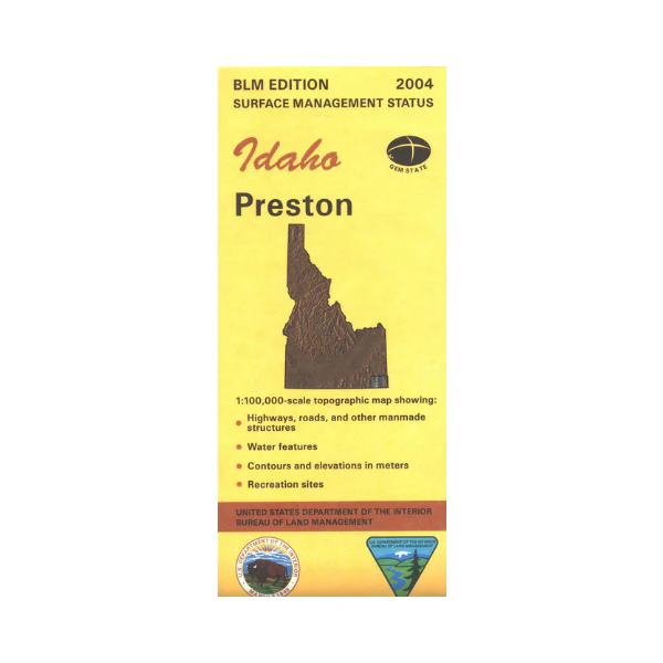
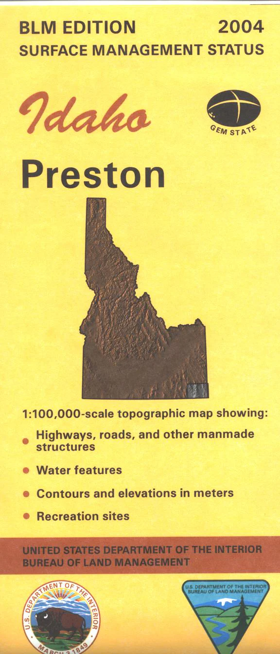
Map: Preston ID - ID1051S
Explore the BLM lands, Caribou and Cache National Forests lands east and north of Preston. Visit Bear Lake National Wildlife Refuge and Bear Lake. For history buffs the California National Historic Trail is marked. Official Bureau of Land Management metric topographic map @1:100,000 scale (roughly 3/4"`1 mile), color-coded to show Surface Management/ownership. Map shows roads, forest roads, OHV roads, waterways, recreation sites, and points of interest, township and range lines. Map is useful for OHV use, and ID Hunting Units 73, 74, 75, 76, 77, and 78. 2004
Product Information
Product Information
Shipping & Returns
Shipping & Returns
Description
Explore the BLM lands, Caribou and Cache National Forests lands east and north of Preston. Visit Bear Lake National Wildlife Refuge and Bear Lake. For history buffs the California National Historic Trail is marked. Official Bureau of Land Management metric topographic map @1:100,000 scale (roughly 3/4"`1 mile), color-coded to show Surface Management/ownership. Map shows roads, forest roads, OHV roads, waterways, recreation sites, and points of interest, township and range lines. Map is useful for OHV use, and ID Hunting Units 73, 74, 75, 76, 77, and 78. 2004


