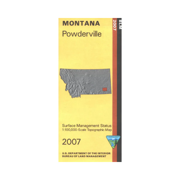
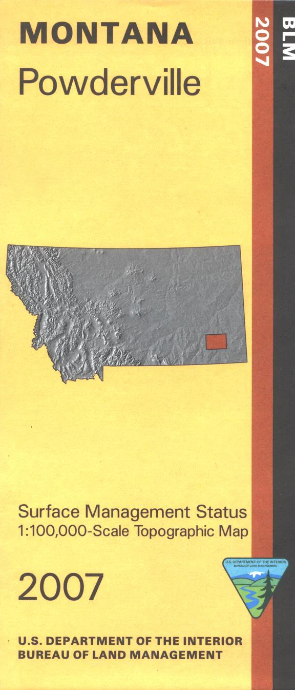
Map: Powderville MT - MT1154S
Map covers lands from Powderville west to Custer National Forest's Holiday Campground. Explore forest roads, or explore BLM lands mostly east and south of Powderville. Official Bureau of Land Management metric topographic map @1:100,000 scale (roughly 3/4"`1 mile), color-coded to show surface
management, i.e. agency vs. private or tribal ownership. Map shows color coded public and private ownership, roads, water features, recreation sites, points of interest, and the township and range lines. Use this map for OHV use,and hunting Deer and Elk in Units 704 and 705. 2007
Original: $8.99
-65%$8.99
$3.15Product Information
Product Information
Shipping & Returns
Shipping & Returns
Description
Map covers lands from Powderville west to Custer National Forest's Holiday Campground. Explore forest roads, or explore BLM lands mostly east and south of Powderville. Official Bureau of Land Management metric topographic map @1:100,000 scale (roughly 3/4"`1 mile), color-coded to show surface
management, i.e. agency vs. private or tribal ownership. Map shows color coded public and private ownership, roads, water features, recreation sites, points of interest, and the township and range lines. Use this map for OHV use,and hunting Deer and Elk in Units 704 and 705. 2007


