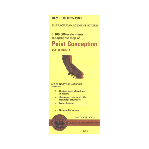
Map: Point Conception CA - CA355S
Map shows Point Conception and Santa Inez Mountains, the Pacific Ocean, and part of Channel Islands National Park including San Miguel Island, and part of Santa Rosa Island. Official Bureau of Land Management metric topographic map @1:100,000 scale (roughly 3/4"=1 mile), color-coded to show surface management, i.e. agency vs. private or tribal ownership. Map shows roads, water features, points of interest, and the township and range lines. campgrounds. 1983
Original: $8.99
-65%$8.99
$3.15Product Information
Product Information
Shipping & Returns
Shipping & Returns
Description
Map shows Point Conception and Santa Inez Mountains, the Pacific Ocean, and part of Channel Islands National Park including San Miguel Island, and part of Santa Rosa Island. Official Bureau of Land Management metric topographic map @1:100,000 scale (roughly 3/4"=1 mile), color-coded to show surface management, i.e. agency vs. private or tribal ownership. Map shows roads, water features, points of interest, and the township and range lines. campgrounds. 1983


