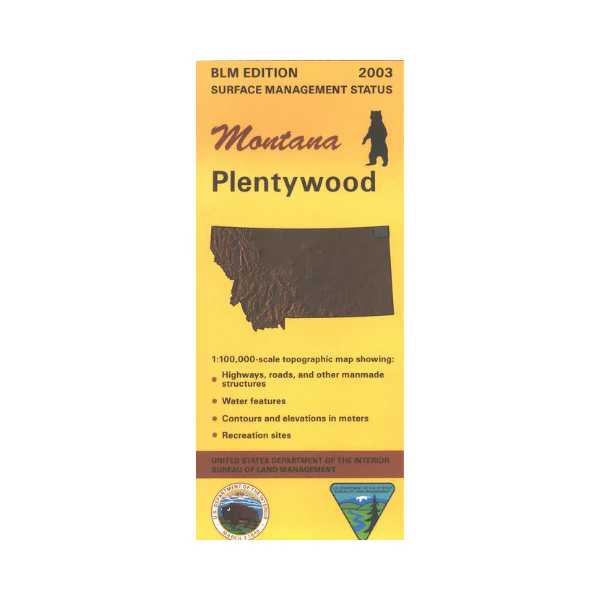
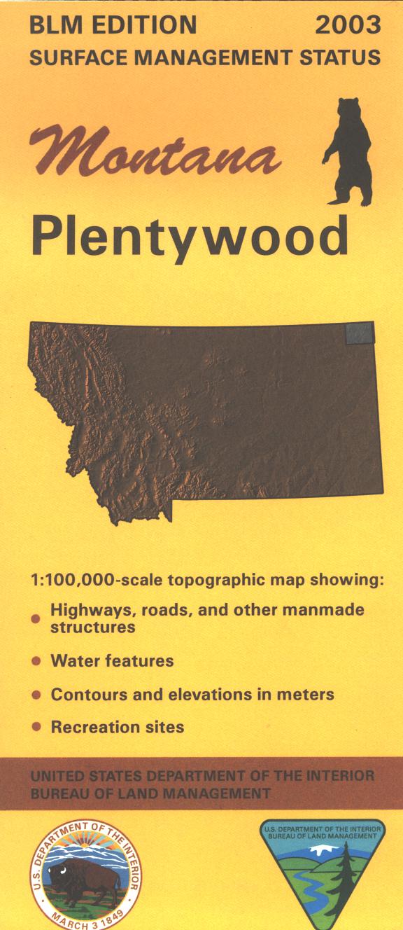
Map: Plentywood MT - MT1152S
Official Bureau of Land Management metric topographic map
@1:100,000 scale (roughly 3/4"`1 mile), color-coded to show surface
management, i.e. agency vs. private or tribal ownership. Both maps show color coded public and private
ownership, roads, water features, points of interest and the township
and range lines. Use this map for hunting Deer, Elk, and Mountain Lion in Units 640 and 641. Recent revisions are topographic. 2003
Product Information
Product Information
Shipping & Returns
Shipping & Returns
Description
Official Bureau of Land Management metric topographic map
@1:100,000 scale (roughly 3/4"`1 mile), color-coded to show surface
management, i.e. agency vs. private or tribal ownership. Both maps show color coded public and private
ownership, roads, water features, points of interest and the township
and range lines. Use this map for hunting Deer, Elk, and Mountain Lion in Units 640 and 641. Recent revisions are topographic. 2003


