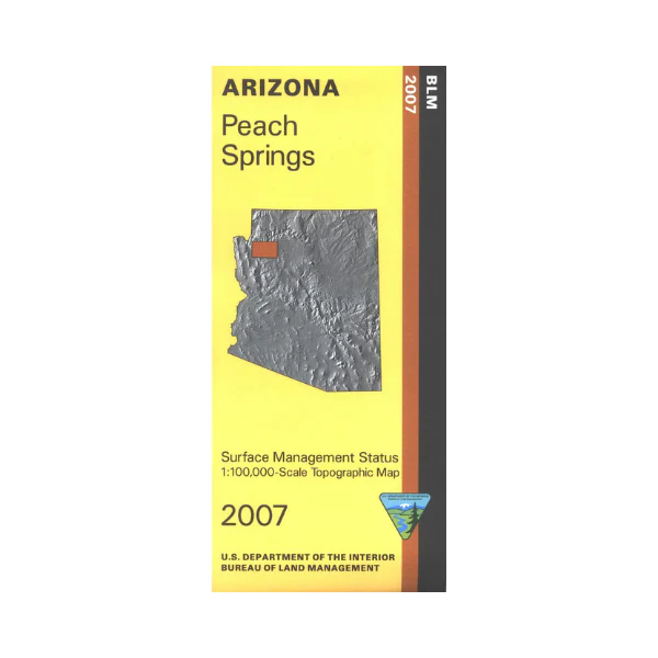
Map: Peach Springs AZ - AZ136S
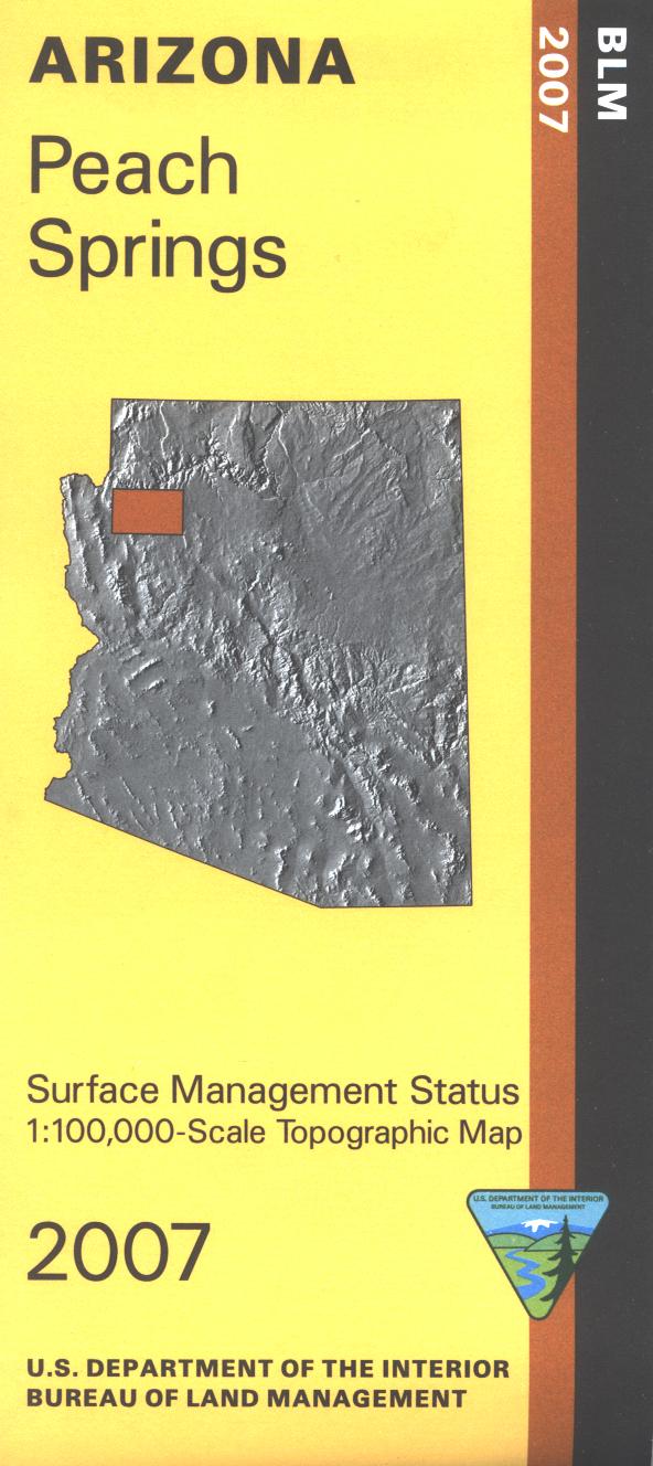
BLM map shows roads, and topographic detail. Differentiates between public and private land, and also among the various agencies who manage the public lands. Explore a remote Grand Canyon - Parashant National Monument. OHV driving on BLM land west of the Hualapai Indian Reservation. Use map for scenic driving, primitive camping, hiking and photography. AZ Hunting Units 10, and 15A. Scale 1:100,000. 2007
Product Information
Product Information
Shipping & Returns
Shipping & Returns
Description
BLM map shows roads, and topographic detail. Differentiates between public and private land, and also among the various agencies who manage the public lands. Explore a remote Grand Canyon - Parashant National Monument. OHV driving on BLM land west of the Hualapai Indian Reservation. Use map for scenic driving, primitive camping, hiking and photography. AZ Hunting Units 10, and 15A. Scale 1:100,000. 2007