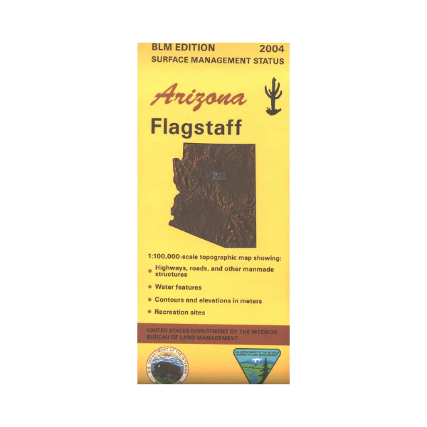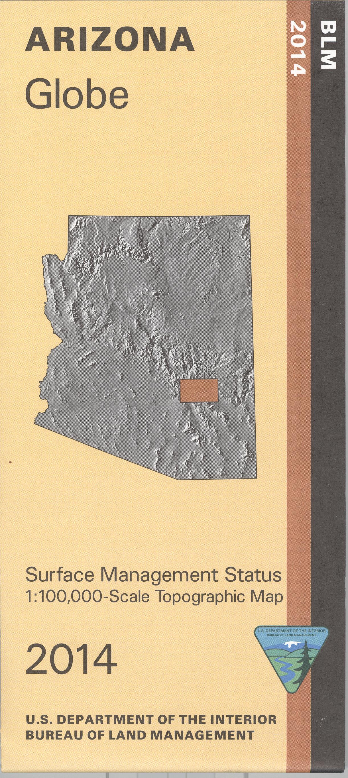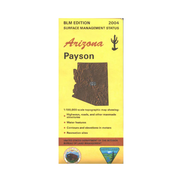
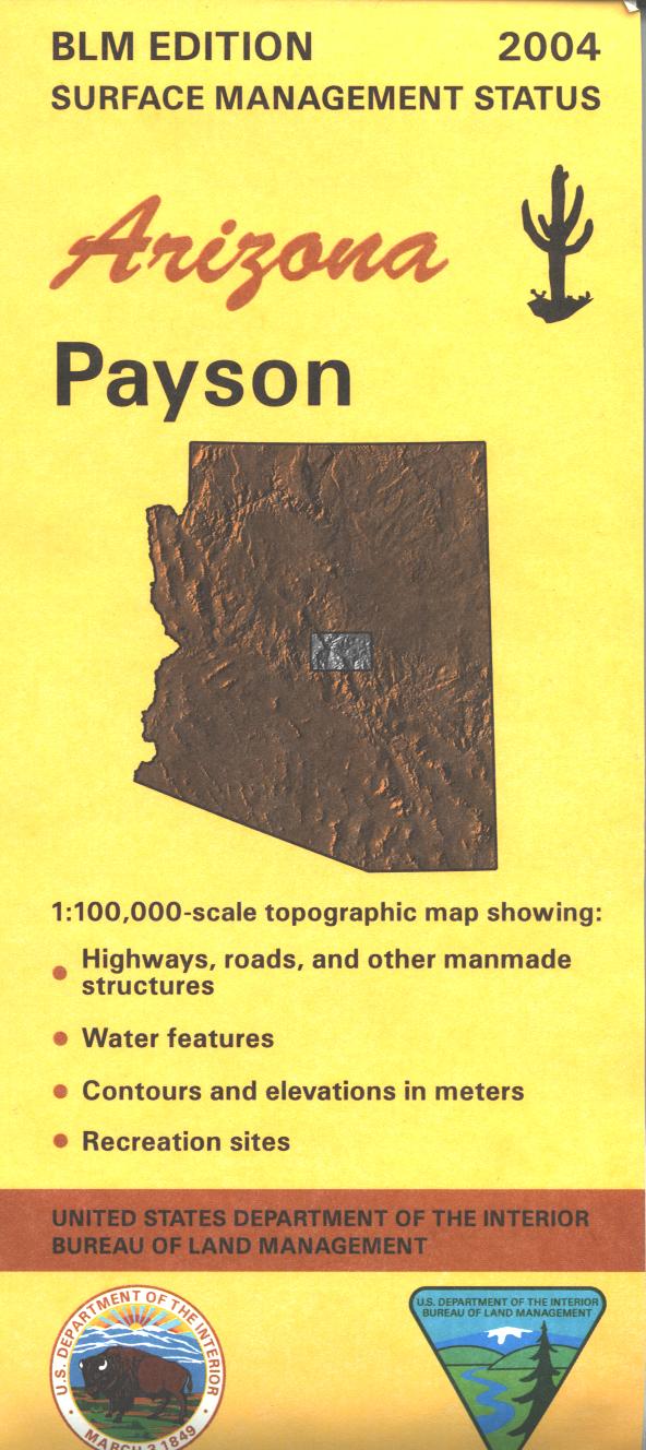
Map: Payson AZ - AZ135S
Map shows roads, campgrounds, and topographic detail. Differentiates between public and private land, and also among the various agencies who manage the public lands. Explore the scenic Mazatzal Wilderness and the Mogollon Rim area with two national recreation trails; try fishing, camping, hiking, horseback riding, biking, hunting, scenic driving, and OHV riding in Tonto National Forest. Use this map for AZ Hunting Units 4A, 5A, 6A, 21, 22, and 23. Much of the map covers national forest land. Scale 1:100,000 (roughly 3/4 inch = 1 mile). 2018
Product Information
Product Information
Shipping & Returns
Shipping & Returns
Description
Map shows roads, campgrounds, and topographic detail. Differentiates between public and private land, and also among the various agencies who manage the public lands. Explore the scenic Mazatzal Wilderness and the Mogollon Rim area with two national recreation trails; try fishing, camping, hiking, horseback riding, biking, hunting, scenic driving, and OHV riding in Tonto National Forest. Use this map for AZ Hunting Units 4A, 5A, 6A, 21, 22, and 23. Much of the map covers national forest land. Scale 1:100,000 (roughly 3/4 inch = 1 mile). 2018