Map: Payette NF ID McCall & Krassel (North)
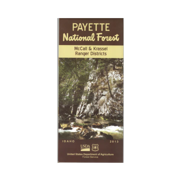
Covers the McCall and Krassel Ranger Districts throughout the Salmon River Mountains, including large parts of the Frank Church- River of No Return Wilderness with a section of the Salmon Wild and Scenic River, and the Gospel Hump Wilderness. Official map is scaled at 1/2"=1 mile showing all lands, roads, forest roads, waterways, trails, campgrounds, other recreation sites, and points of interest within the forest. (no topographic data). The map includes information about motorized off-road travel (ATVs, motorcycles, etc.) Map is useful for OHV use, and ID Hunting Units 19, 19A, 20A, 23, 24, and 26. Printed on synthetic, tear-proof, waterproof paper. 2013
Original: $19.99
-65%$19.99
$7.00Product Information
Product Information
Shipping & Returns
Shipping & Returns
Description
Covers the McCall and Krassel Ranger Districts throughout the Salmon River Mountains, including large parts of the Frank Church- River of No Return Wilderness with a section of the Salmon Wild and Scenic River, and the Gospel Hump Wilderness. Official map is scaled at 1/2"=1 mile showing all lands, roads, forest roads, waterways, trails, campgrounds, other recreation sites, and points of interest within the forest. (no topographic data). The map includes information about motorized off-road travel (ATVs, motorcycles, etc.) Map is useful for OHV use, and ID Hunting Units 19, 19A, 20A, 23, 24, and 26. Printed on synthetic, tear-proof, waterproof paper. 2013


