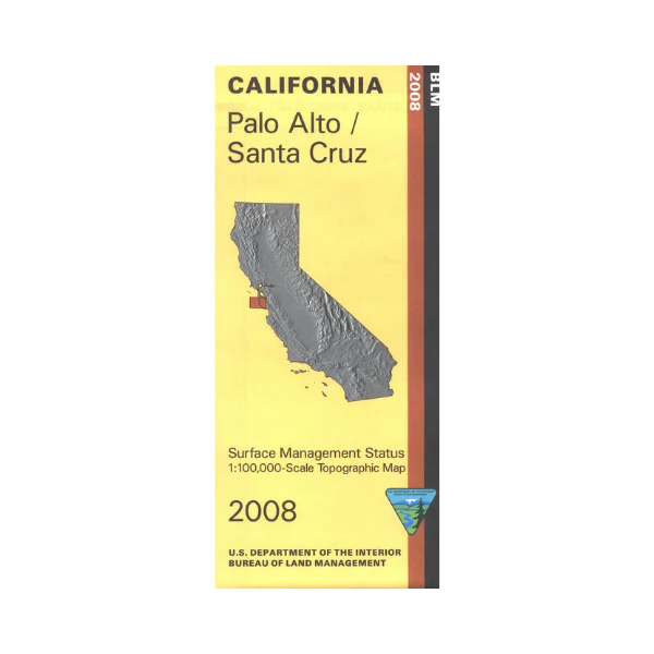
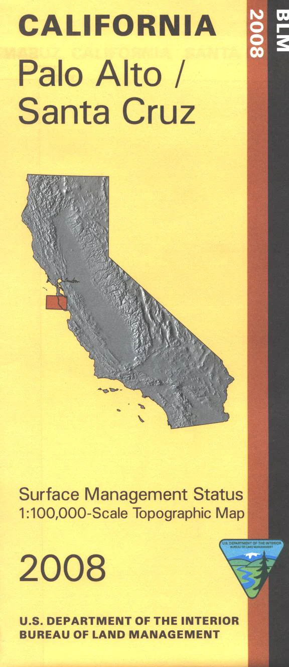
Map: Palo Alto/Santa Cruz CA - CA330S
From Palo Alto map shows lands to the south and west, including the coastline from Miramar south to Davenport. Along the coast are opportunities for camping, hiking, and fishing at several state beaches. At Castle Rock State Park enjoy camping, hiking, and horseback riding; or scenic drive Skyline Boulevard Scenic Byway and the Saratoga Los Gates Scenic Byway. Visit Henry Cowell Redwoods State Park for camping, mountain biking, and hiking. Official Bureau of Land Management metric topographic map @1:100,000 scale (roughly 3/4"=1 mile), color-coded to show surface management, i.e. agency vs. private or tribal ownership. Map shows roads, water features, recreation sites, points of interest, and the township and range lines. Backside of map shows a small section of land with Santa Cruz. Use this map for Deer Hunting in Unit A South 110. 2008
Original: $8.99
-65%$8.99
$3.15Product Information
Product Information
Shipping & Returns
Shipping & Returns
Description
From Palo Alto map shows lands to the south and west, including the coastline from Miramar south to Davenport. Along the coast are opportunities for camping, hiking, and fishing at several state beaches. At Castle Rock State Park enjoy camping, hiking, and horseback riding; or scenic drive Skyline Boulevard Scenic Byway and the Saratoga Los Gates Scenic Byway. Visit Henry Cowell Redwoods State Park for camping, mountain biking, and hiking. Official Bureau of Land Management metric topographic map @1:100,000 scale (roughly 3/4"=1 mile), color-coded to show surface management, i.e. agency vs. private or tribal ownership. Map shows roads, water features, recreation sites, points of interest, and the township and range lines. Backside of map shows a small section of land with Santa Cruz. Use this map for Deer Hunting in Unit A South 110. 2008


