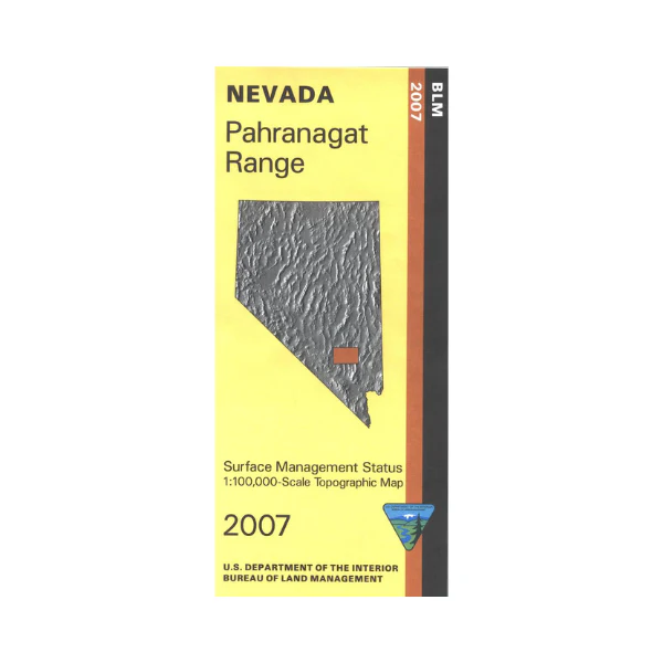
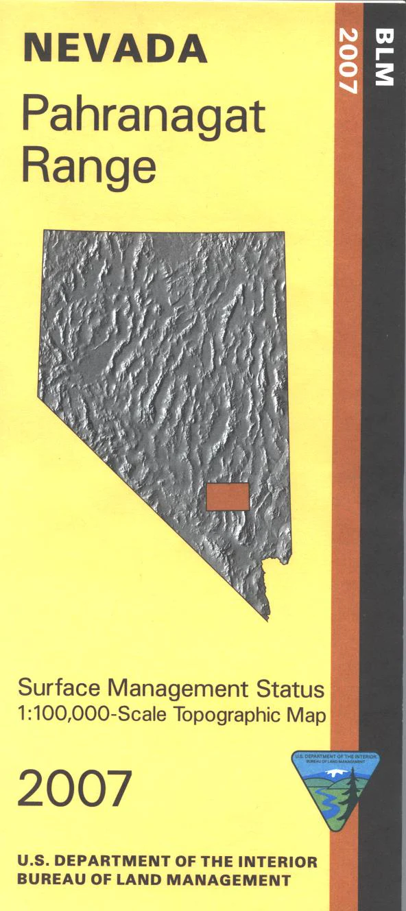
Map: Pahranagat Range NV - NV148S
BLM Management Status maps color code who owns what in the given quadrant; private, tribal, military, or public. Roads, recreation sites, waterways, and other manmade and natural features are clearly marked. Hiking and wildlife viewing at Ash Springs on Hwy 93. Explore BLM lands in Pahranagat Range and Valley, or in Pahranagat National Wildlife Refuge. Use this map for hunting in Units 133, 241, 245, 282, and 283. Half of the map is military land. 2007
Product Information
Product Information
Shipping & Returns
Shipping & Returns
Description
BLM Management Status maps color code who owns what in the given quadrant; private, tribal, military, or public. Roads, recreation sites, waterways, and other manmade and natural features are clearly marked. Hiking and wildlife viewing at Ash Springs on Hwy 93. Explore BLM lands in Pahranagat Range and Valley, or in Pahranagat National Wildlife Refuge. Use this map for hunting in Units 133, 241, 245, 282, and 283. Half of the map is military land. 2007


