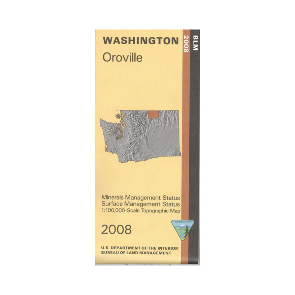
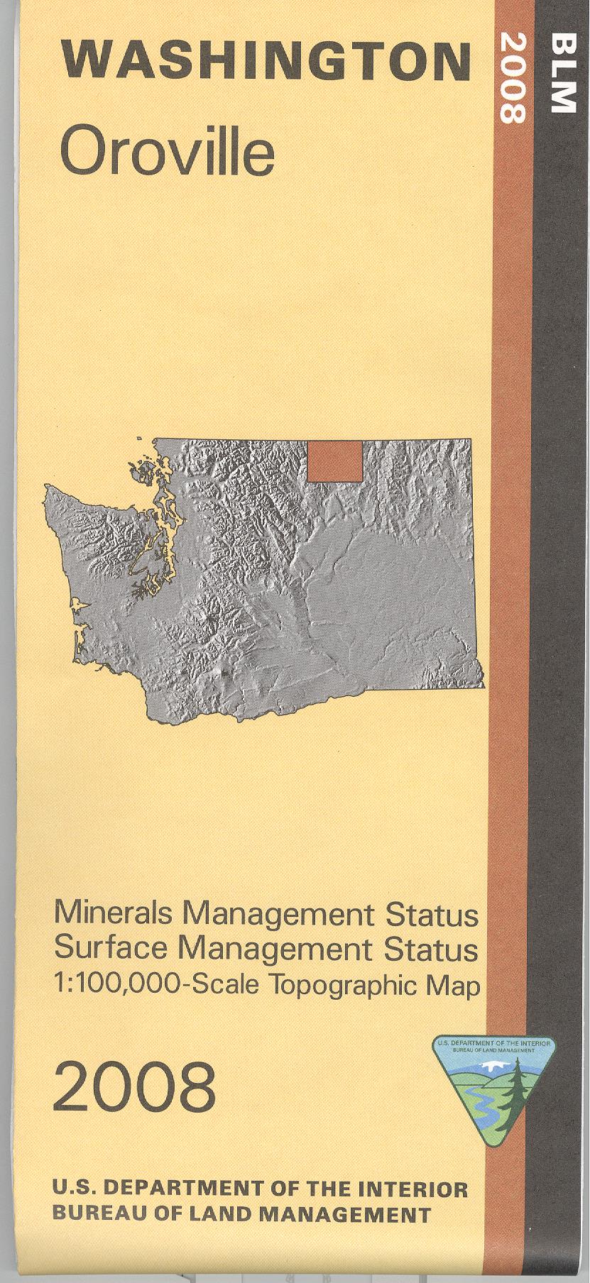
Map: Oroville WA - WA025S
East of Oroville and Tonasket are several sections of Okanogan National Forest with camping, hiking, boating, and fishing opportunities. West of Oroville and Tonasket are BLM lands, Loomis State Forest, and Okanogan National Forest with camping, hiking, and fishing opportunities. Official BLM map shows color-coded federal, state, and private lands, topographic detail, roads, water features, recreation sites, points of interest, place names, county boundaries, township and range lines. Use this map for hunting in Units 204, 209, 215, 224, and 233.
Scale is 1:100,000, roughly 3/4 inch to 1 mile. Currently only the version with mineral management and surface management is available. 2008
Original: $8.99
-65%$8.99
$3.15Product Information
Product Information
Shipping & Returns
Shipping & Returns
Description
East of Oroville and Tonasket are several sections of Okanogan National Forest with camping, hiking, boating, and fishing opportunities. West of Oroville and Tonasket are BLM lands, Loomis State Forest, and Okanogan National Forest with camping, hiking, and fishing opportunities. Official BLM map shows color-coded federal, state, and private lands, topographic detail, roads, water features, recreation sites, points of interest, place names, county boundaries, township and range lines. Use this map for hunting in Units 204, 209, 215, 224, and 233.
Scale is 1:100,000, roughly 3/4 inch to 1 mile. Currently only the version with mineral management and surface management is available. 2008


