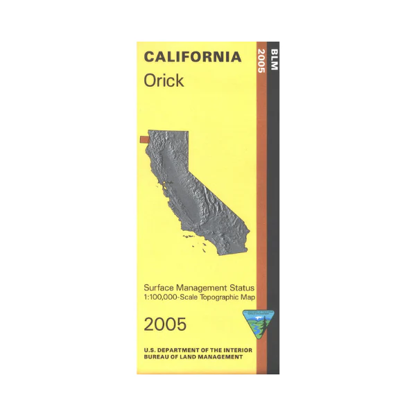
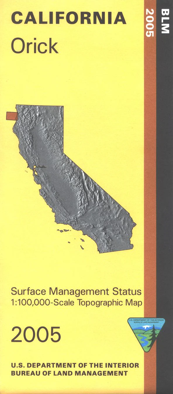
Map: Orick CA - CA315S
From Orick travel north on Hwy 101 to Split Rock/Redwood National Park, or travel south as far as Little River State Beach; with opportunities for scenic driving, camping, hiking, fishing, and swimming along the way. East of Orick is Redwood National Park. Official Bureau of Land Management metric topographic map @1:100,000 scale (roughly 3/4"=1 mile), color-coded to show surface management, i.e. agency vs. private or tribal ownership. Map shows roads, water features, recreation sites, points of interest, and the township and range lines. Use this map for Deer Hunting in Unit B1 and for Elk Hunting in Northwestern Zone. 2005
Product Information
Product Information
Shipping & Returns
Shipping & Returns
Description
From Orick travel north on Hwy 101 to Split Rock/Redwood National Park, or travel south as far as Little River State Beach; with opportunities for scenic driving, camping, hiking, fishing, and swimming along the way. East of Orick is Redwood National Park. Official Bureau of Land Management metric topographic map @1:100,000 scale (roughly 3/4"=1 mile), color-coded to show surface management, i.e. agency vs. private or tribal ownership. Map shows roads, water features, recreation sites, points of interest, and the township and range lines. Use this map for Deer Hunting in Unit B1 and for Elk Hunting in Northwestern Zone. 2005


