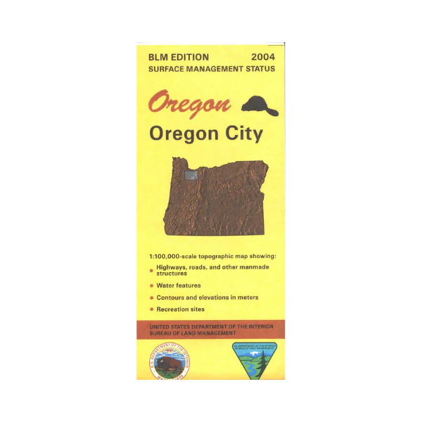
Map: Oregon City OR - OR047S
From Portland, Oregon City, or Beaverton travel east and south to Hood National Forest. Explore the Clackamas River area with opportunities for camping, fishing, and hiking along the way. Visit any of the several state parks or natural areas south of Portland with possibilities for camping, hiking, biking, fishing, and wildlife viewing. Map shows Portland south to Silverton, and Newberg east to Brightwood.
Official Bureau of Land Management metric topographic map
@1:100,000 scale (roughly 3/4"`1 mile), color-coded to show surface
management, i.e. agency vs. private or tribal ownership. This map shows roads, water features, recreation sites, points of interest, and the township
and range lines. Map is useful for OR Hunting Unit 15 and 16. 2004
Product Information
Product Information
Shipping & Returns
Shipping & Returns
Description
From Portland, Oregon City, or Beaverton travel east and south to Hood National Forest. Explore the Clackamas River area with opportunities for camping, fishing, and hiking along the way. Visit any of the several state parks or natural areas south of Portland with possibilities for camping, hiking, biking, fishing, and wildlife viewing. Map shows Portland south to Silverton, and Newberg east to Brightwood.
Official Bureau of Land Management metric topographic map
@1:100,000 scale (roughly 3/4"`1 mile), color-coded to show surface
management, i.e. agency vs. private or tribal ownership. This map shows roads, water features, recreation sites, points of interest, and the township
and range lines. Map is useful for OR Hunting Unit 15 and 16. 2004


