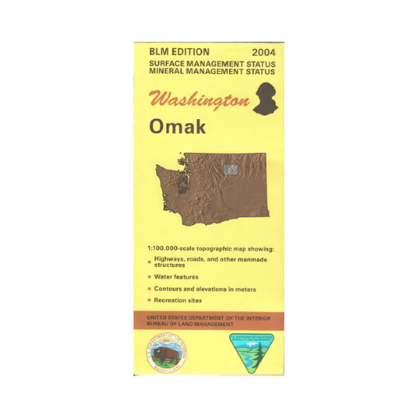
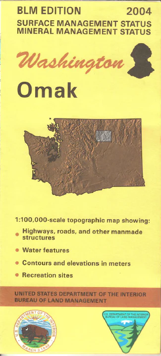
Map: Omak WA (MINERAL) - WA024SM
From Omak and Okanogan travel west to access Loup Loup State Forest, and a section of Okanogan National Forest, both with camping opportunities. South of Omak is the Columbia River with camping, fishing, and boating at Bridgeport State Park and Alta Lake State Park. Boat launch sites along the river are marked. East of Omak and the Okanogan River is Coleville Indian Reservation.
This Bureau of Land Management map shows color-coded federal, state, and private lands, roads, water features, recreation sites, place names, county boundaries, and township and range lines. This is a Mineral Management Map, with an additional layer showing below-surface mineral rights.
Use this map for hunting in Units 204, 224, 233, 239, 248, and 260.
Scale is 1:100,000, roughly 3/4 inch to 1 mile. 2004
Product Information
Product Information
Shipping & Returns
Shipping & Returns
Description
From Omak and Okanogan travel west to access Loup Loup State Forest, and a section of Okanogan National Forest, both with camping opportunities. South of Omak is the Columbia River with camping, fishing, and boating at Bridgeport State Park and Alta Lake State Park. Boat launch sites along the river are marked. East of Omak and the Okanogan River is Coleville Indian Reservation.
This Bureau of Land Management map shows color-coded federal, state, and private lands, roads, water features, recreation sites, place names, county boundaries, and township and range lines. This is a Mineral Management Map, with an additional layer showing below-surface mineral rights.
Use this map for hunting in Units 204, 224, 233, 239, 248, and 260.
Scale is 1:100,000, roughly 3/4 inch to 1 mile. 2004


