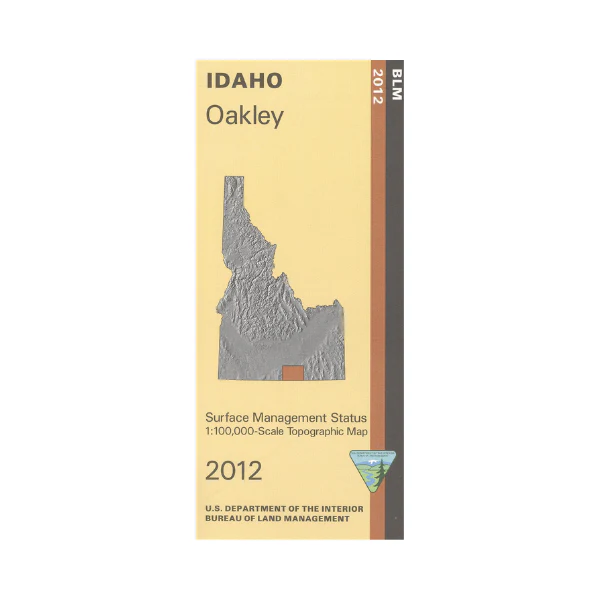
Map: Oakley ID - ID1045S
East of Oakley are sections of Sawtooth National Forest with campgrounds, hiking and horseback riding trails, dirt bike trails, and scenic driving roads. City of Rocks National Reserve has camping, hiking, horseback riding, mountain biking, and scenic viewing of interesting rock formations. Rock climbing is at Castle Rocks State Park just north of the preserve. From Oakley travel on the City of Rocks Back Country Byway up to Albion ID, or explore the numerous BLM lands. For history buffs the California National Historic Trail is marked. Official Bureau of Land Management metric topographic map @1:100,000 scale (roughly 3/4"`1 mile), color-coded to show Surface Management/ownership. map shows roads, forest roads, OHV/4WD roads, waterways, recreation sites, trails, and points of interest. Map is useful for OHV use, and ID Hunting Units 54, 55, 56, and 57. 2012
Product Information
Product Information
Shipping & Returns
Shipping & Returns
Description
East of Oakley are sections of Sawtooth National Forest with campgrounds, hiking and horseback riding trails, dirt bike trails, and scenic driving roads. City of Rocks National Reserve has camping, hiking, horseback riding, mountain biking, and scenic viewing of interesting rock formations. Rock climbing is at Castle Rocks State Park just north of the preserve. From Oakley travel on the City of Rocks Back Country Byway up to Albion ID, or explore the numerous BLM lands. For history buffs the California National Historic Trail is marked. Official Bureau of Land Management metric topographic map @1:100,000 scale (roughly 3/4"`1 mile), color-coded to show Surface Management/ownership. map shows roads, forest roads, OHV/4WD roads, waterways, recreation sites, trails, and points of interest. Map is useful for OHV use, and ID Hunting Units 54, 55, 56, and 57. 2012


