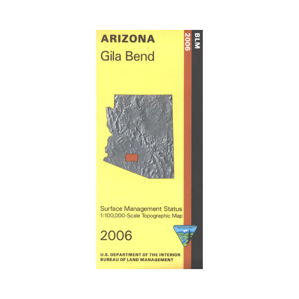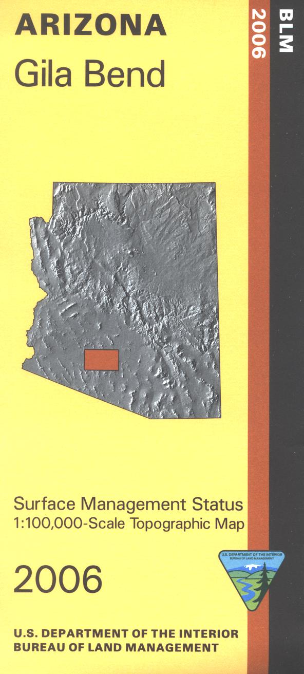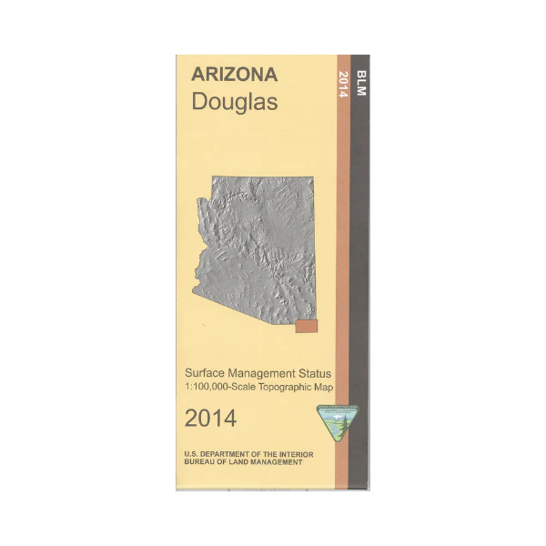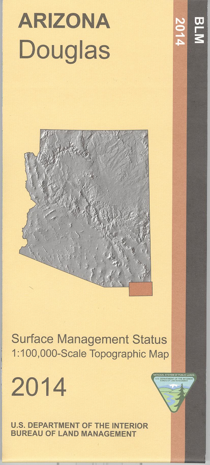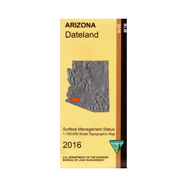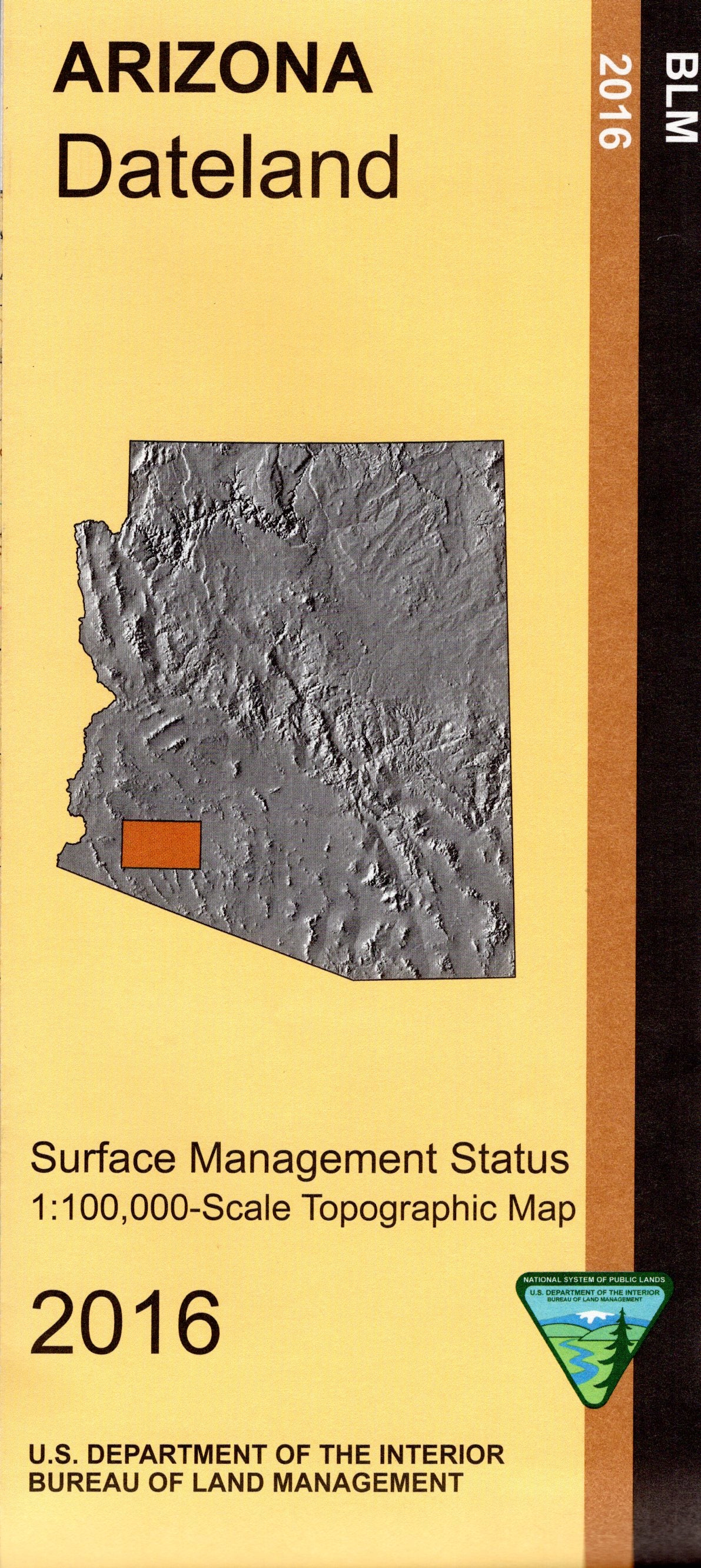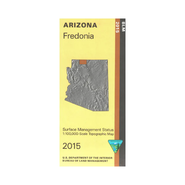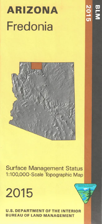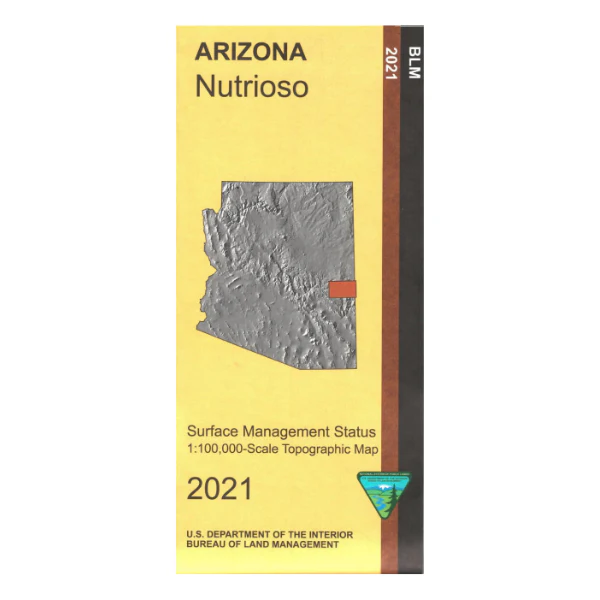
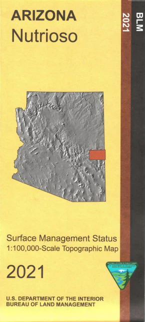
Map: Nutrioso AZ - AZ132S
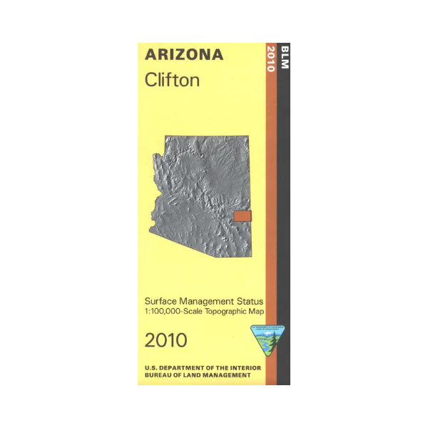
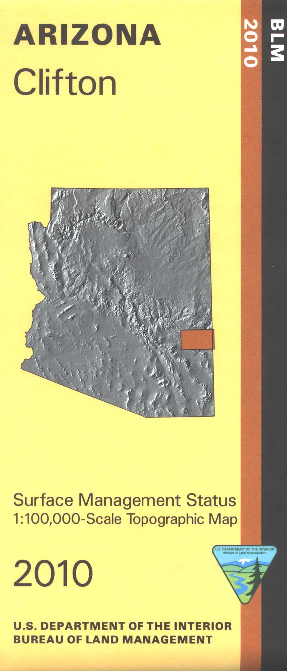
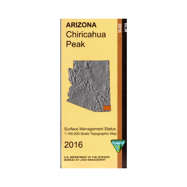
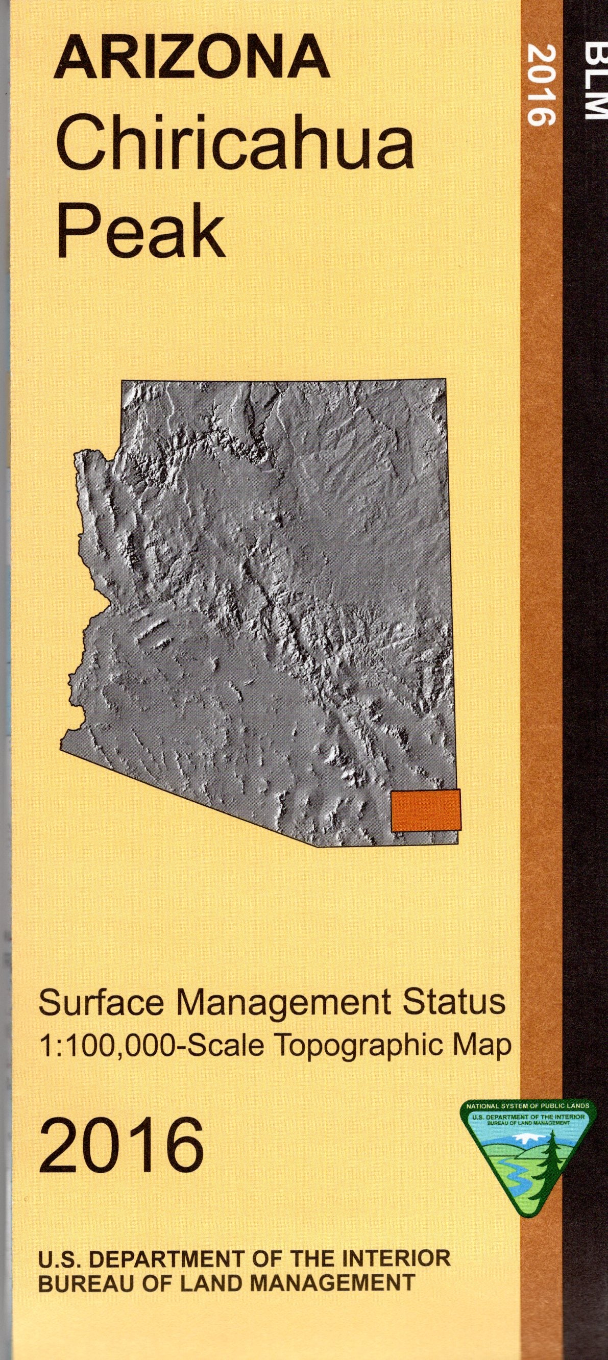
BLM map shows roads, campgrounds, and topographic detail. Differentiates between public and private land, and also among the various agencies who manage the public lands. Map covers part of Apache Sitgreaves National Forest and Fort Apache Indian Reservation. No BLM land shown. Enjoy the scenic areas within the Apache National Forest and portions of the Mogollon Rim; try camping, hiking, horseback riding, biking, and OHV riding. A section of the Eagle National Recreation Trail is shown on the map. Scenic driving on Hwy 191, the Coronado Trail Scenic Byway. AZ Hunting Units 1, 25, and 27. Scale 1:100,000. 2021
Product Information
Product Information
Shipping & Returns
Shipping & Returns
Description
BLM map shows roads, campgrounds, and topographic detail. Differentiates between public and private land, and also among the various agencies who manage the public lands. Map covers part of Apache Sitgreaves National Forest and Fort Apache Indian Reservation. No BLM land shown. Enjoy the scenic areas within the Apache National Forest and portions of the Mogollon Rim; try camping, hiking, horseback riding, biking, and OHV riding. A section of the Eagle National Recreation Trail is shown on the map. Scenic driving on Hwy 191, the Coronado Trail Scenic Byway. AZ Hunting Units 1, 25, and 27. Scale 1:100,000. 2021